
What is recorded here
Woodstown holds a twelve-metre disc of shattered stone and charcoal where hot water once crashed against rock. Men may have cooked flesh, cleaned weapons or drowned a name in that foam. The ring road nearly erased the dish, but excavation recovered the heat and the dark soil memory.
In a slight depression, on the flood plain of the Mulkear River. Identified during monitoring of topsoil removal prior to the construction of the Southern Limerick Ring-Road. Excavated (Licence No. 01E0762) by Michael Connolly in 2001. A shallow burnt spread (diam. 12m) consisting of heat-shattered stone and charcoal mixed with boulder clay and topsoil. This material is very disturbed and it was difficult to determine if it was in-situ. The same material has been used to backfill a number of land drains uncovered across the excavation area (ibid). The recovery of some small fragments of cremated bone within the burnt material may suggest a function other than that of a fulacht fiadh (Connolly 2003, 245-6).
See attached plan extract from excavation report (Connolly 2001).
Compiled by: Alison McQueen and Vera Rahilly
Date of upload: 1 July 2020
The monument record does not grant public access. Check the route and ask the landowner before entering private land.
- What survives
- Recorded monument
Places near here
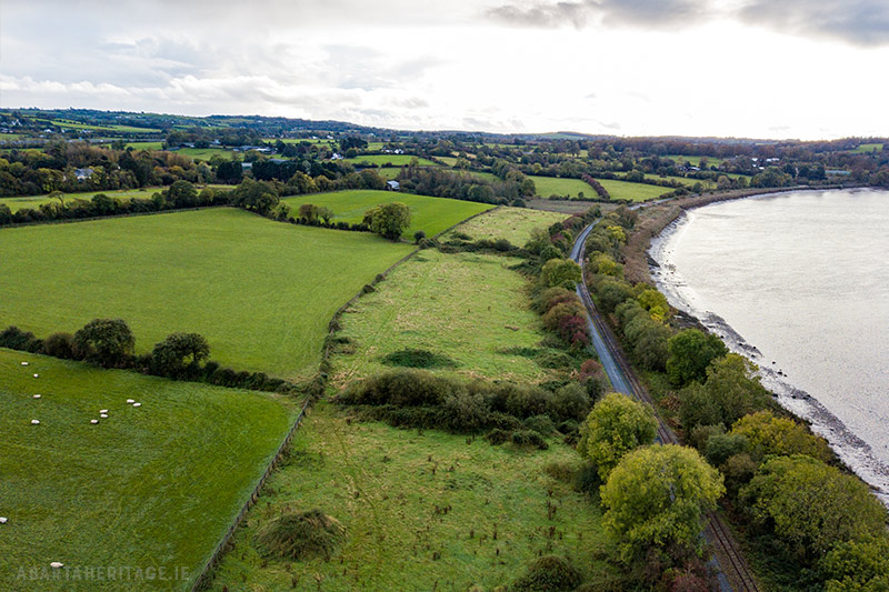 Enclosure in WoodstownEnclosure · 619 yd
 Ballyclogh Millsmill (water) · 693 yd
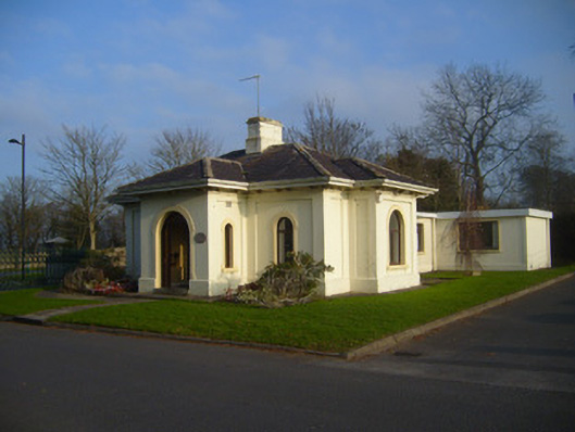 Woodstown Housegate lodge · 850 yd
 OutlinedEnclosure · 859 yd
 Jackie PowerMemorial · 956 yd
 Castle Troy (in ruins)Castle, tower house · 1.6 mi
 Campus MapVisitor information · 2.2 mi
 Visitor CentreVisitor information · 2.3 mi
 Fountain SculptureHeritage attraction · 2.3 mi
 CastleCastle, unclassified · 2.7 mi
 Graveyard in AbingtonGraveyard · 4.6 mi
 Seán Keating GalleryGallery · 4.9 mi
Other information
Photo: Credit not shown in the picture search · Rights wording not checked; contact us if this picture should be removed