Places near here
Photo credits
- National Inventory of Architectural Heritage
- Richard Webb, Geograph · CC BY-SA 2.0
- Charles T. G. Clarke, Wikimedia Commons · CC BY-SA 4.0
- Steve & Jemma Copley on Flickr, Wikimedia Commons · CC BY-SA 2.0
- Miguel Angel Masegosa Martínez, Wikimedia Commons · CC BY 2.0
- Gillaween, Wikimedia Commons · CC BY-SA 4.0
- 2ManyCats4Me, Wikimedia Commons · CC0
Explorer Tom Tinode’s D-shaped fort is the hero nobody remembers because it’s mostly just a scarp and some trees pretending to be walls. It sits next to bogland planted with trees, which feels like a landscaping project that went sideways in the eighties. Look up, the best bit is always higher than you think.
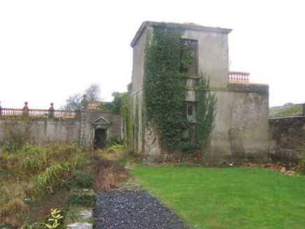 Daramona HouseObservatory/telescope, laboratory · 1676 yd
Explorer Tom Daramona House in Ardnaglew is a ruinous observatory that used to measure star positions but now mostly measures how much rain gets in. It was built by a guy who thought he could predict the future, which turns out to be harder than aiming at stars. Wave hello from afar before it tries to show you its telescope!
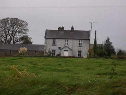 Tinode HouseHouse · 1.2 mi
Explorer Tom Tinode House is home to a giant who only comes out when it rains, according to local legend I totally made up. It’s a standard farmhouse with very modest aspirations, but it’s got that certain something going for it. Kick a stone near the entrance if you dare.
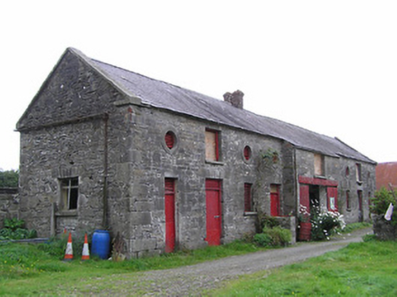 Clonwhelan HouseFarmyard complex · 1.2 mi
 CastleCastle, motte · 1.9 mi
Explorer Tom Castle in Russagh handles its nosey neighbours by simply not being there anymore, which is the ultimate passive-aggressive move. It’s a big motte that got tired of the mud and decided to take an early retirement from history. Take the long way round, it deserves the effort.
 Coolamber CastleHouse, fortified house · 2.1 mi
 Silver Fir2.6 mi
Explorer Tom Silver Fir in County Westmeath is so tall it thinks Saint Patrick personally shook its hand, which seems unlikely given the saint's travel schedule. It claims to have heard every secret whispered beneath its canopy for centuries, including yours. A good place to forget your phone for ten minutes and just breathe in that ancient air.
 Sweet Chestnut3.7 mi
Explorer Tom Sweet Chestnut in County Westmeath has been locked in a bitter feud with the village over who left a half-eaten sandwich on its trunk first. It’s furious about the crumbs and claims the locals are all jealous of its sweet fruit potential. Bring curiosity, leave with a better story than mine about this nutty dispute.
 Sheela-na-gig in AbbeylaraSheela-na-gig · 5.8 mi
 Granard MotteMotte-and-bailey castle remains · 5.9 mi
Explorer Tom Granard Motte would describe the 1800s to a teenager as 'basically a long queue for nothing'. It's just a big mound pretending it remembers something important from the castle days. Spot the oldest stone and give it a name.
 1798 MonumentMonument · 6.0 mi
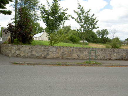 Bully's AcreGraveyard/cemetery, unknown · 8.3 mi
More archaeology and monuments in County Westmeath · All of County Westmeath

What do you know about this place?Tap to add a comment or ask a question