Places near here
Photo credits
- National Inventory of Architectural Heritage
- Richard Webb, Geograph · CC BY-SA 2.0
- Charles T. G. Clarke, Wikimedia Commons · CC BY-SA 4.0
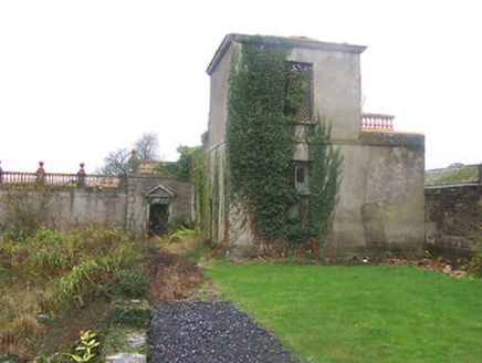 Daramona HouseObservatory/telescope, laboratory · 1.1 mi
Explorer Tom Daramona House in Ardnaglew is a ruinous observatory that used to measure star positions but now mostly measures how…
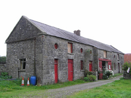 Clonwhelan HouseFarmyard complex · 1.1 mi
Explorer Tom Clonwhelan House farmyard complex is getting picked on by the wind because it’s got so many outbuildings for the breeze…
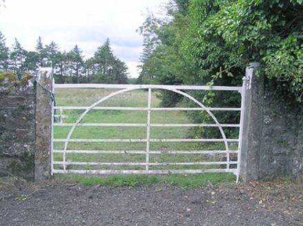 gates/railings/walls1.2 mi
Explorer Tom Gates in Clonwhelan have wrought-iron details that scream 'I cost more than your car.' It would win the lotto and buy a…
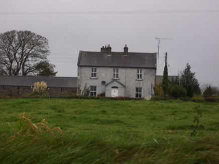 Tinode HouseHouse · 1.3 mi
Explorer Tom Tinode House is home to a giant who only comes out when it rains, according to local legend I totally made up. It’s a…
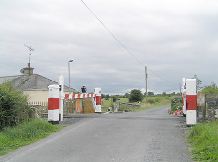 level crossing1.3 mi
Explorer Tom Level crossing in Clonwhelan is definitely doing yoga when nobody is looking, stretching those timber gates to their…
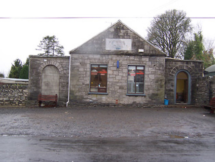 Street InstituteBuilding misc · 1.3 mi
Explorer Tom Street Institute in Ardnaglew absolutely loathes the local fox who keeps using its steps as a personal toilet. It’s…
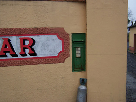 post box1.3 mi
Explorer Tom Post box in Kilcloghan would win a county fair by simply standing still and letting people try to guess its age, which…
 bridge1.3 mi
Explorer Tom Bridge in Barradrum is a little stone arch that thinks it’s doing the heavy lifting for Grand Jury history. Built…
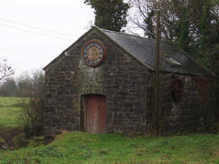 mill (water)1.4 mi
Explorer Tom The Mill in Barradrum has a prophecy that says it will turn into a bakery, but it’s been waiting for that for about two…
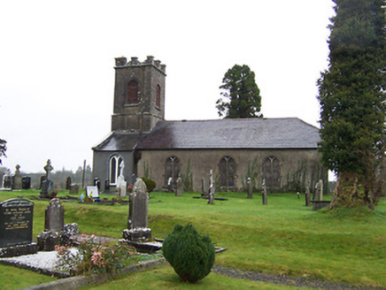 Saint Mary's Church (Street)Church/chapel · 1.4 mi
Explorer Tom Saint Mary's Church in Barradrum would write on its dating profile: 'Squat tower, big heart, looking for someone who…
 CastleCastle, motte · 2.0 mi
Explorer Tom Castle in Russagh handles its nosey neighbours by simply not being there anymore, which is the ultimate…
 Coolamber CastleHouse, fortified house · 2.1 mi
Explorer Tom Coolamber Castle House is where Saint Patrick would have said, ‘You’ve got a bit of an ego for a pile of rocks.’…
More archaeology and monuments in County Westmeath · All of County Westmeath

What do you know about this place?Tap to add a comment or ask a question