What is recorded here
Situated on the W side of Mullaghmeen Hill with extensive views to W and NW but now obscured due to location in modern forestry plantation. Ringfort (WM001-025----) located 360m to NNW. Heavily overgrown ringfort which is impossible to examine due to forestry plantation. A roughly oval-shaped area (diam. 39m N-S; 32m E-W) enclosed by an earthen bank with traces of an external fosse visible at SE only and an entrance gap at SE. The interior has been planted with coniferous trees and a modern forestry road running NNE-SSW cuts through the SE quadrant of the ringfort. The interior of the site slopes from E-W.
See attached profile of monument surveyed and drawn by the ASI.
Compiled by: Frank Coyne & Caimin O'Brien
Date of upload: 16 November 2016
The monument record does not grant public access. Check the route and ask the landowner before entering private land.
- What survives
- Recorded monument
Places near here
 Balnacart Millmill (water) · 538 yd
 Enclosure in FoyranEnclosure · 686 yd
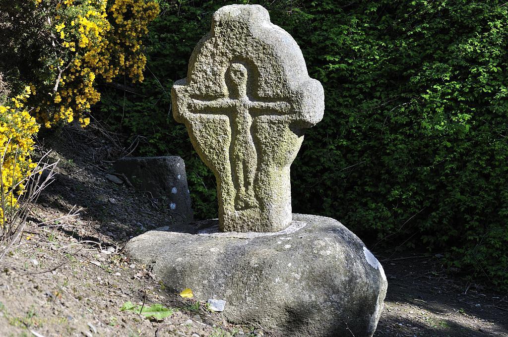 CrossCross, Wayside cross · 701 yd
 Church (in Ruins)Church · 829 yd
 Mullaghmeen White WalkWalking route · 1080 yd
 MullaghmeenMountain / peak · 1243 yd
 Mullaghmeen Red WalkWalking route · 1374 yd
 Castle (in Ruins)Castle, unclassified · 1382 yd
 Site of CastleCastle, unclassified · 1.0 mi
 Mullaghmeen ForestPicnic place · 1.1 mi
 Rock of CurryCliff · 1.9 mi
 Fox CovertForest · 2.8 mi