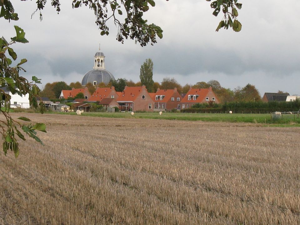
What is recorded here
Situated on top of a ridge in grassland with good views in all directions. A circular shaped area (approx. diam. 23m N-S) enclosed by an earth and stone bank. The E side of the site has been quarried away. Field fences running NE-SW intersect the monument at NW and SE. The interior slopes slightly to the SE. Shallow depressions are visible in the interior but do not appear to be of archaeological significance.
Compiled by: Frank Coyne and Caimin O'Brien
Date of upload: 16 February 2018
A local fairy fort (ringfort/rath); wider significance not recorded.
The monument record does not grant public access. Check the route and ask the landowner before entering private land.
- What survives
- Recorded monument
Places near here
 OutlinedEcclesiastical enclosure · 689 yd
 Hut site in DownsHut site · 1000 yd
 Saint Munna's Church (Taghmon)church/chapel · 1545 yd
 St. Munnas ChurchChurch · 1546 yd
 Taghmon CastleCastle, tower house · 1707 yd
 CastleCastle, motte · 1.0 mi
 Long PlantingForest · 3.8 mi
 GinkgoGinkgo · 3.8 mi
 Saint Brigid's WellSpring · 5.3 mi
 United Nations War MemorialMemorial · 5.7 mi
 Mullingar Cathedral MuseumMuseum · 6.1 mi
 The Chimera GalleryGallery · 6.2 mi
Other information
Photo: Credit not shown in the picture search · Rights wording not checked; contact us if this picture should be removed