What is recorded here
From the National Monuments Service (Archaeological Survey of Ireland) record WM017-069
Places near here
Photo credits
- Maker not stated on source page, www.thejournal.ie
- National Inventory of Architectural Heritage
- Maker not stated on source page, www.pinterest.com
- Maker not stated on source page, commons.wikimedia.org
- Maker not stated on source page, pixels.com
 Fairy fort / earthen ringfort in BeltackenFairy fort / earthen ringfort · 558 yd
Explorer Tom Fairy fort / earthen ringfort in Beltacken would be the person at a wedding who dances alone in the corner. It’s got…
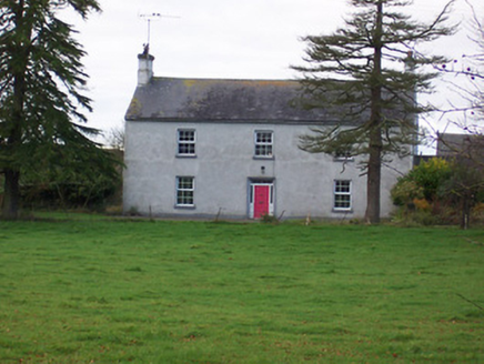 Dalystown HouseHouse · 730 yd
Explorer Tom Dalystown House in Dalystown was ruled for a week by a goat named Gary who ate all the wallpaper. It’s got that formal…
 CastleCastle, unclassified · 1108 yd
Explorer Tom There was once a matchmaker at Kilgawny Castle who paired off knights based on how much they liked cheese. She retired…
 Templepatrick GraveyardGraveyard · 1369 yd
Explorer Tom Templepatrick Graveyard would teach history by making you walk the grounds blindfolded and guessing which stone was…
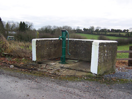 water pump1.0 mi
Explorer Tom Water pump in Killeenerk has a favourite song, which is probably just the rhythmic clunking of people trying to get…
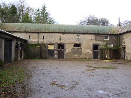 Halston HouseStables · 1.1 mi
Explorer Tom Halston House stables is humming an old tune about horses that haven’t visited since the late eighteenth century…
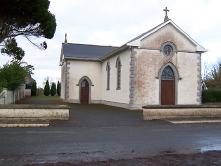 Saint Patrick's Catholic ChurchChurch/chapel · 1.2 mi
Explorer Tom Saint Patrick's Catholic Church in Ballincurra would describe the 1800s to a teenager by saying 'imagine no Wi-Fi but…
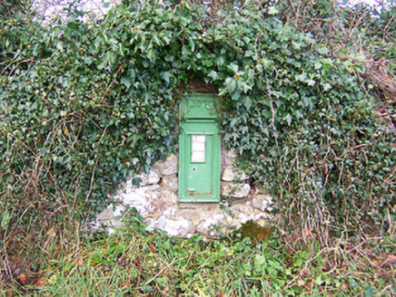 post box1.2 mi
Explorer Tom Post box in Tobercormick would complain to the council about the lack of air conditioning if it could talk. It’s got…
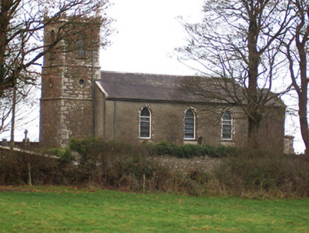 Saint Nicholas's Church (Ballymorin)Church/chapel · 1.3 mi
Explorer Tom Saint Nicholas's Church in Ballymorin was rebuilt in the early nineteenth century on the site of an earlier church…
 mill (water)1.3 mi
Explorer Tom Mill in Temple Patrick is secretly proud of one specific potato that it turned into flour so perfectly it should be in…
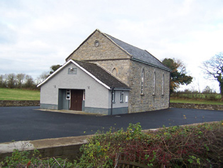 Moyvore Community CentreChurch/chapel · 1.3 mi
Explorer Tom Moyvore Community Centre used to be a church where the dancing got dangerously rowdy. Now it’s just a building with…
 Fairy fort / ringfort in Skeagh MoreFairy fort / ringfort · 1.8 mi
Explorer Tom Fairy fort / ringfort in Skeagh More would post a selfie of its cropmark and call it art. It’s barely visible, which…
More archaeology and monuments in County Westmeath · All of County Westmeath

What do you know about this place?Tap to add a comment or ask a question