What is recorded here
Situated on a low hill, in pasture. Annotated 'Fort' on the OS Fair Plan map and depicted as a D-shaped tree-planted enclosure with straight side to SW. Shown on the revised 1910 ed. OS 25-inch map as the arc of a scarp (approx. C 40m) present from SE-S-W. Levelled monument described in 1983 as no surface remains visible. Faint outline of levelled ringfort visible today on Digital Globe aerial photography.
Compiled by Alison McQueen, Vera Rahilly and Caimin O’Brien.
Date of upload: 22 November 2019
The monument record does not grant public access. Check the route and ask the landowner before entering private land.
- What survives
- Recorded monument
Places near here
 OutlinedFairy fort / earthen ringfort · 693 yd
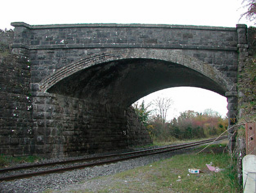 Kilgarvan Bridgebridge · 944 yd
 Fardrum Househouse · 1482 yd
 St. Menaghans WellsHoly well · 1.1 mi
 CastleCastle, ringwork · 1.5 mi
 TullymagawlyBawn · 1.8 mi
 European ashEuropean ash · 2.2 mi
 Long IslandIsland · 2.7 mi
 Wren's IslandIslet · 3.3 mi
 Athlone Music MuseumMuseum · 4.1 mi
 1916 Centenery CommemorationMemorial · 4.2 mi