
What is recorded here
Situated on a low hill, in pasture, with wide views of the surrounding landscape. Depicted on the revised 1910 ed. OS 25-inch map as a suboval-shaped earthwork which is immediately E of the Offaly-Westmeath county boundary. Bivallate ringfort described in 1973 as a fairly regular circular-shaped area (diam. 33m) enclosed by a bank, an intervening fosse and an outer bank. The inner bank is wide and low and is visible from NW-N-NE and from SE-S-SW. A shallow intervening fosse is present from NW-N-NE and from SE-S-SW. A low outer bank is visible from NW-N-NE and from SE-S-SW. The interior has a gentle S-facing slope and the surface is fairly even. Monument is visible today as a roughly oval-shaped earthwork on Digital Globe aerial photography.
Compiled by Alison McQueen, Vera Rahilly and Caimin O’Brien.
Date of upload: 28 November 2019
A local fairy fort (ringfort/rath); wider significance not recorded.
The monument record does not grant public access. Check the route and ask the landowner before entering private land.
- What survives
- Recorded monument
Places near here
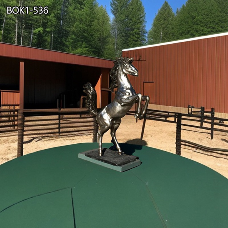 Ferrari Horse StatueMonument · 529 yd
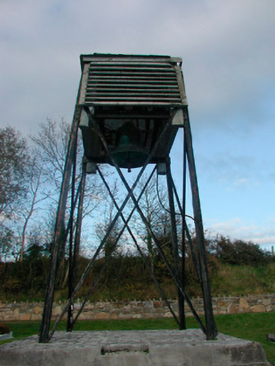 Catholic Church of Saint Peter and Saint Paulbell tower/stand · 544 yd
 OutlinedCastle, ringwork · 592 yd
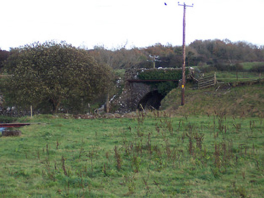 bridgebridge · 768 yd
 IndicatedTown defences · 1036 yd
 Hachured, Wall, HorseleapCastle, motte and bailey · 1148 yd
 Kilmalady HillMountain / peak · 1.1 mi
 Chapel HillForest · 3.2 mi
 ToberaskeenSpring · 3.6 mi
 Roughan HillMountain / peak · 3.8 mi
 High WoodWood · 4.5 mi
 St. Columba's WellSpring · 4.9 mi
Other information
Photo: Credit not shown in the picture search · Rights wording not checked; contact us if this picture should be removed