
What is recorded here
Situated on high ground, in pasture, at the S end of Inchmore Island, with excellent views of the surrounding Lough Ree and mainland to E, S and W. Annotated 'Fort' on the 1837 OS Fair Plan Map. Depicted on the 1837 ed. OS 6-inch map as a substantial rectangular-shaped earthwork. Depicted on the revised 1913 ed. OS 25-inch map as a much smaller, D-shaped area which is open to SE.
Bivallate enclosure described in 1976 as an oval-shaped area (int. diam. 53m NE-SW) enclosed by an inner bank, an intervening fosse and an outer bank. The low earth and stone inner bank is best preserved from W-N-E, but is very defaced E-S-W by modern gaps and excavations. A wide, shallow intervening fosse and a low outer bank are visible from W-N-E. In the SE sector, the outer bank and fosse extend outwards from the site and appear to enclose a small crescent-shaped annexe (dims. 20m NW-SE) which may be a secondary feature. This annexe defined by a scarp at SE and by slight traces of a fosse and an outer bank at E. The interior of the monument has a gentle NW-facing slope and there are the remains of deep cultivation ridges running E-W. There are traces of a possible internal division across the SW sector within which are faint traces of cultivation ridges running N-S. There are no clear indications of an original entrance. Field fences run alongside to E and S. Outline of enclosure with annexe to SE is clearly visible today on Digital Globe aerial photography.
Compiled by: Alison McQueen, Vera Rahilly and Caimin O’Brien
Date of upload: 10 July 2019
A local fairy fort (ringfort/rath); wider significance not recorded.
The monument record does not grant public access. Check the route and ask the landowner before entering private land.
- What survives
- Recorded monument
Places near here
 InchmoreIsland · 268 yd
 Inchmore ChurchReligious house, Augustinian canons · 765 yd
 IllanfanIslet · 1058 yd
 Portlick Millennium ForestWood · 1.1 mi
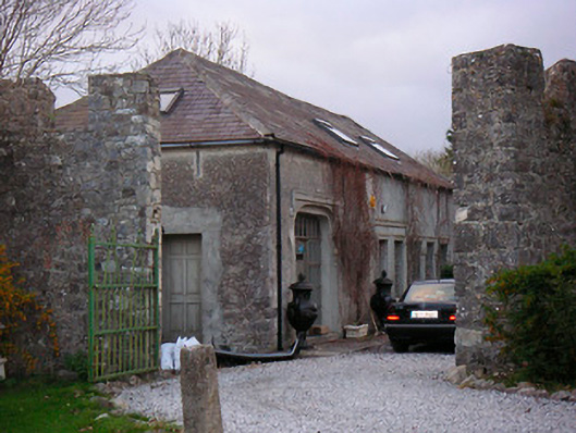 Portlick Castlestables, farmyard complex · 1.2 mi
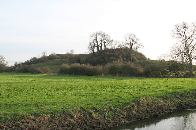 Portlick MotteArchaeological place · 1.5 mi
 BawnBawn · 1.5 mi
 Cross in Killinure NorthCross · 1.5 mi
 Traveen BayBay · 2.0 mi
 Traveen PointHeadland · 2.0 mi
 Ballynakill CastleCastle · 2.6 mi
 RindoonWood · 3.0 mi
Other information
Photo: Credit not shown in the picture search · Rights wording not checked; contact us if this picture should be removed