
What is recorded here
The parish church of Rindown, listed as Randon in the ecclesiastical taxation of Elphin in 1306 (Cal. doc. Ire., vol. 5, 224). Situated at the S end of the promontory fort ditch (RO046-004001-), but outside it on its NW side. The church consists of a nave (int. dims 19.8m E-W; 8.1m N-S) and later chancel (int. dims 9.7m E-W; 5.9m N-S). The nave walls are almost complete but featureless, although there are robbed doorways towards the W end of the N and S walls. The N wall has one robbed window, and the S wall two, of which only the bottom courses survive. The chancel, of which only the W end of the long walls survive together with the chancel arch, had a window at the E end of the N wall, and the E wall had a window of two lights, probably lancet windows with a central pier. About 18-21m to the W and N of the church is an earthen bank (RO046-004034-) (Wth 3m; H 0.5m) which may have delimited the church precinct, but there is no evidence of burial. The chancel arch, which had been repaired at some stage, probably in the 15th century, was conserved in 2010, and has survived the harsh winters since then (Collins 2013, 28-9). (Bradley and Dunne 1988a, 75)
Compiled by: Michael Moore
Date of upload: 24 August 2010
Amended: 30 July, 2013
The parish church of Rindown, listed as Randon in the ecclesiastical taxation of Elphin in 1306 (Cal. doc. Ire., vol. 5, 224). Situated at the S end of the promontory fort ditch (RO046-004001-), but outside it on its NW side. The church consists of a nave (int. dims 19.8m E-W; 8.1m N-S) and later chancel (int. dims 9.7m E-W; 5.9m N-S). The nave walls are almost complete but featureless, although there are robbed…
From the National Monuments Service (Archaeological Survey of Ireland) record RO046-004003
The monument record does not grant public access. Check the route and ask the landowner before entering private land.
- What survives
- Recorded monument
Places near here
 Rindown CastleCastle, Anglo-Norman masonry castle · 171 yd
 Safe HarbourBay · 253 yd
 Historic town in Warren,rinnaganHistoric town · 375 yd
 RindoonWood · 464 ydCarrownure BayBay · 544 ydSt. John's WoodWood · 1.5 mi
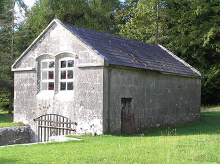 Portanure LodgeBoathouse · 2.1 mi
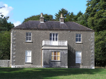 Portanure LodgeHouse · 2.1 mi
 InchbofinIslet · 3.1 mi
 Ecclesiastical enclosure in InchbofinEcclesiastical enclosure · 3.1 mi
 Elfeet CastleCastle, Anglo-Norman masonry castle · 3.3 mi
 InchcleraunIsland · 3.3 mi
Pictures: Kieran Campbell, Geograph · CC BY-SA 2.0; Arno-nl, Wikimedia Commons · CC BY-SA 4.0; Christopher Hilton, Wikimedia Commons · CC BY-SA 2.0; National Inventory of Architectural Heritage; David Baird, Wikimedia Commons · CC BY-SA 2.0; Sailko, Wikimedia Commons · CC BY 3.0; Mike Searle, Geograph · CC BY-SA 2.0; AndreasDelp, Wikimedia Commons · CC BY-SA 4.0
More historic places in County Roscommon · All of County Roscommon
What do you know about this place?