
What is recorded here
Monument surveyed by the ASI in 1976 and described as 'The site is on lowlying poor pasture land at the N foot of a low E-W ridge. A large, broad oval (?) enclosure outlined by a low scarp with a low bank at its upper edge. Unfortunately the whole site is heavily overgrown with trees and bushes and is difficult to…
Read the whole record
From the National Monuments Service (Archaeological Survey of Ireland) record WM032-001
Places near here
Photo credits
- National Inventory of Architectural Heritage
- Maker not stated on source page, www.pinterest.com
- Maker not stated on source page, global-geography.org
- Maker not stated on source page, www.alamy.com
- Maker not stated on source page, www.dreamstime.com
- J McCauley (as credited in photo caption), www.westmeathindependent.ie
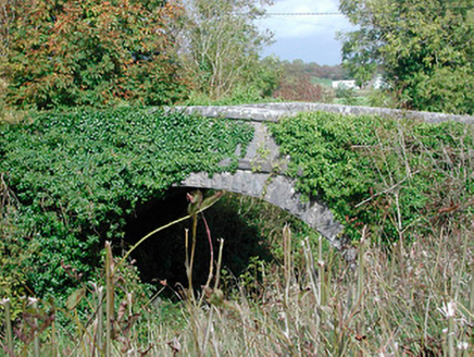 bridge852 yd
Explorer Tom Bridge in Killeen is a graceful railway bridge that’s been sitting there since 1851, looking at nothing but air and…
 Jamestown CourtGate lodge · 893 yd
Explorer Tom Jamestown Court's gate lodge replaced an older one because the railway needed the space, which is quite cheeky for a…
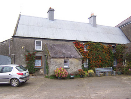 Garhy LodgeHouse · 993 yd
Explorer Tom Garhy Lodge is a house with a split personality, with one half old-school and the other half trying too hard to be…
 Flat cemetery in Adamstown (moycashel By.)Flat cemetery · 1106 yd
Explorer Tom Flat cemetery in Adamstown, County Westmeath claims to be older than the concept of shoes, which is probably true given…
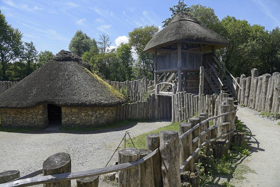 Fairy fort / earthen ringfort in Jamestown (rathconrath By., Jamestown Ed)Fairy fort / earthen ringfort · 1170 yd
Explorer Tom Fairy fort / earthen ringfort in Jamestown got it wrong on the map because the surveyor was drunk on cheap whiskey…
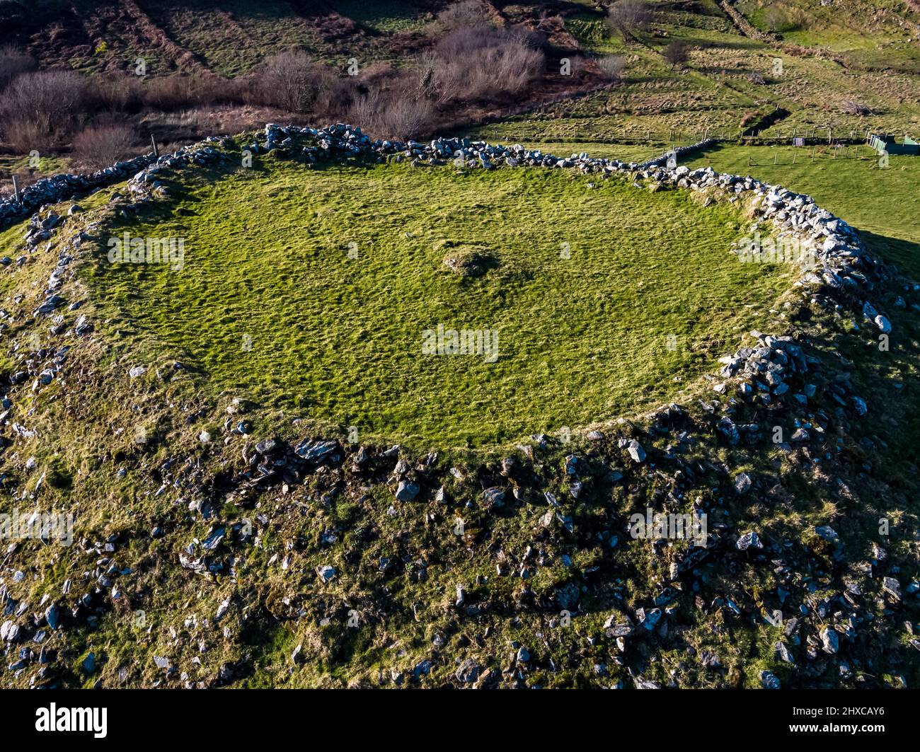 Fairy fort / ringfort in Adamstown (moycashel By.)Fairy fort / ringfort · 1313 yd
Explorer Tom Another fairy fort in Adamstown sparked a whole parish argument about who actually owns the mud. It sits on a wet rise…
 Fairy fort / stone ringfort in Jamestown (rathconrath By., Jamestown Ed)Fairy fort / stone ringfort · 1.3 mi
Explorer Tom Fairy fort / stone ringfort in Jamestown has collapsed remains that look like a dog chewed through its own fence. A…
 Cist in SraneegCist · 1.4 mi
Explorer Tom Cist in Sraneeg is basically gone, but locals say a matchmaker used to work there and still sets up couples at night.…
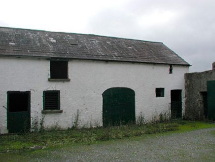 Vastina HouseOutbuilding · 1.4 mi
Explorer Tom Vastina House outbuildings smell like old hay, fresh mud, and a strong suspicion that someone is hiding a secret in the…
 Rockfield HouseHouse · 1.5 mi
Explorer Tom Rockfield House in Sraduff has a doorcase so artistically meritful that I suspect the seagulls land there specifically…
 St. Joseph's GAA pitchGAA ground · 1.8 mi
 Flat cemetery in BallybrennanFlat cemetery · 2.5 mi
Explorer Tom Flat cemetery in Ballybrennan, County Westmeath has an imaginary fan club that meets every Tuesday to discuss the best…
More archaeology and monuments in County Westmeath · All of County Westmeath

What do you know about this place?Tap to add a comment or ask a question