
What is recorded here
Situated on a slight rise, in gently undulating pasture (meadow). Annotated 'Fort' on the 1837 OS Fair Plan map and depicted as a suboval-shaped tree-lined enclosure. Depicted on the 1837 ed. OS 6-inch map as an hexagonal-shaped tree-lined earthwork and on the revised 1913 ed. OS 25-inch map as a suboval-shaped…
Read the whole record
From the National Monuments Service (Archaeological Survey of Ireland) record WM027-056
Places near here
Photo credits
- National Inventory of Architectural Heritage
- JP, Wikimedia Commons · CC BY-SA 2.0
- Royalcanalrunner, Wikimedia Commons · CC BY-SA 4.0
- Dylan Moore, Geograph · CC BY-SA 2.0
- MookiePlays, Wikimedia Commons · CC BY-SA 4.0
- Robin Pollard, Wikimedia Commons · CC BY 3.0
- Malene Thyssen, Wikimedia Commons · CC BY-SA 3.0
- Alvesgaspar, Wikimedia Commons · CC BY-SA 3.0
- Eric Jones, Wikimedia Commons · CC BY-SA 2.0
 Griffinstown HouseDemesne walls/gates/railings · 987 yd
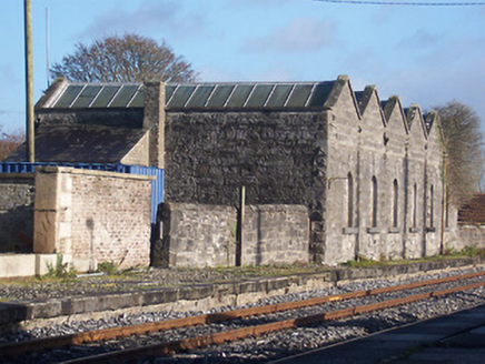 Killucan Railway StationStore/warehouse · 1.1 mi
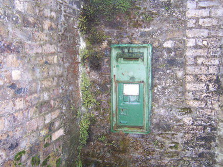 post box1.2 mi
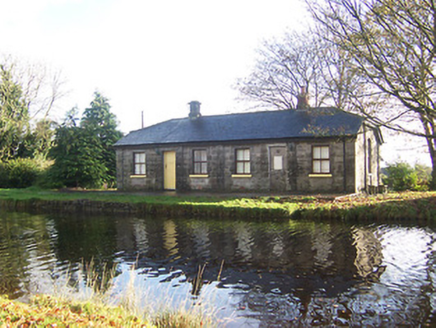 lock keeper's house1.2 mi
 22nd LockLock · 1.2 mi
 Heatherstown BridgeBridge · 1.2 mi
 Bawn in RattinBawn · 2.4 mi
 Rattin CastleCastle, tower house · 2.4 mi
 Croppies' GraveMemorial · 6.8 mi
 European Beech9.0 mi
Explorer Tom European Beech in County Meath is sick of people asking if it talks to the other trees; yes, they gossip, shut up. It’s got that tired look of someone who’s heard every question before. Bring a flask of something warm and a story to swap.
 Common Lime9.1 mi
Explorer Tom Common Lime in County Meath once hid a crate of smuggled whiskey in its roots during a particularly rainy century. The bark still smells faintly of rum and bad decisions. Go back in winter, it's a different animal.
 Delvin CastleVisitor attraction · 9.6 mi
More archaeology and monuments in County Westmeath · All of County Westmeath

What do you know about this place?Tap to add a comment or ask a question