What is recorded here
Situated on low rushy, poorly drained pasture land. Only the N quadrant of this possible trivallate ringfort survives. The monument is transected at S by a post-1700 curving field boundary aligned NE-SE. No surface remains visible of enclosing element to S of this field boundary. A second post-1700 field boundary aligned NW-SE runs across the NE quadrant of the enclosure. Present remains consist of a semi-circular shaped area(approx. int. diam. 49m NE-SW) possibly enclosed by three earth and stone banks with corresponding fosses and causewayed entrance at SW. The inner bank is mainly reduced to a scarp with a wide U-shaped fosse, and second wide low bank enclosed by a narrow steep shallow fosse with slight remains of a third earthen bank. The interior of the ringfort is now cut by field drains.
Compiled by: Frank Coyne & Caimin O'Brien
Date of upload: 17 January 2017
The monument record does not grant public access. Check the route and ask the landowner before entering private land.
- What survives
- Recorded monument
Places near here
 Windmill (in Ruins)Windmill · 912 yd
 Partially indicatedEnclosure · 1530 yd
 Turbotstown Ho.Castle, unclassified · 1.1 mi
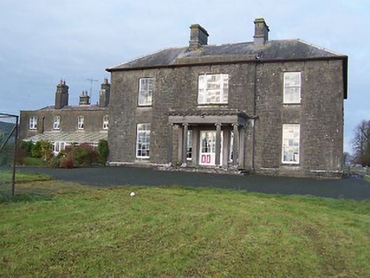 Turbotstown Housecountry house · 1.1 mi
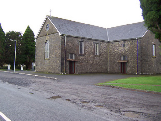 Catholic Church of the Immaculate Conceptionchurch/chapel · 1.1 mi
 TowerCastle, tower house · 1.4 mi
 European BeechEuropean Beech · 2.9 mi
 Pedunculate OakPedunculate Oak · 3.0 mi
 Rock of CurryCliff · 3.1 mi
 Mullaghmeen White WalkWalking route · 5.5 mi
 Mullaghmeen Red WalkWalking route · 5.5 mi
 Mullaghmeen ForestPicnic place · 5.5 mi