
What is recorded here
In gently undulating rough pasture at the SW side of a small complex of earthworks consisting of moated site (TS057-019002-), trackway (TS057-019003-) and another moated site (TS057-019004-). Slightly raised rectangular area (dims. 36m NW-SE; 32m NE-SW) enclosed by an low flat-topped earthen bank (int. H 0.3m; ext. H…
Read the whole record
From the National Monuments Service (Archaeological Survey of Ireland) record TS057-019001
Places near here
Photo credits
- Maker not stated on source page, commons.wikimedia.org
- Maker not stated on source page, www.dreamstime.com
- Maker not stated on source page, au.pinterest.com
- Maker not stated on source page, en.wikipedia.org
- National Inventory of Architectural Heritage
- Maker not stated on source page, evoke.ie
- Knockane GAA Club website; individual photographer not stated, www.knockane.com
- No machine-readable author provided. Christian1965~commonswiki assumed (based on copyright claims)., Wikimedia Commons · Public domain
- Kmcnamee, Wikimedia Commons · CC BY-SA 4.0
 Earthwork in Cloghaready SouthEarthwork · 274 yd
Explorer Tom Earthwork in Cloghaready South has a family tree that is mostly made up of mud and local rumours anyway. It sits right…
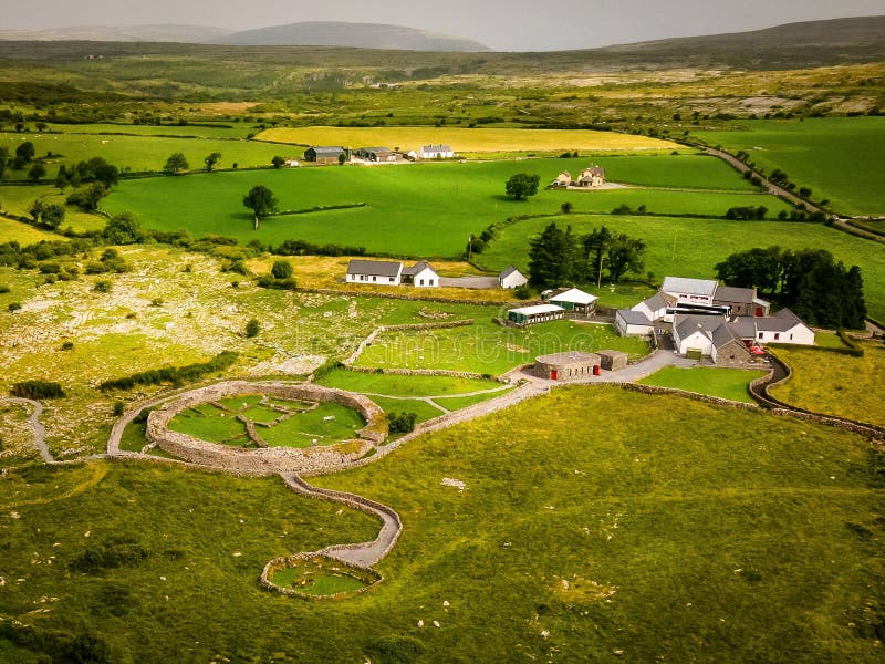 Fairy fort / earthen ringfort in DuncumminFairy fort / earthen ringfort · 1544 yd
Explorer Tom Fairy fort / earthen ringfort in Duncummin is strictly run by a dog that hasn't been fed since 1800 and still guards…
Enclosure in KilleennagalliveEnclosure · 1664 ydExplorer Tom Enclosure in Killeennagallive ended up in the wrong place because the mapmaker had a bad day and misplaced the whole…
Fairy fort / earthen ringfort in Duncummin,killeennagalliveFairy fort / earthen ringfort · 1.1 miExplorer Tom Fairy fort / earthen ringfort in Duncummin, Killeennagallive thinks the seagulls are just local critics who haven't…
 Standing stone in CromwellStanding stone · 2.0 mi
Explorer Tom Standing stone in Cromwell is guarding a hidden treasure that is definitely just a rusty biscuit tin from 1954. It’s…
 Stone Circle, HachuredStone circle · 4.7 mi
Explorer Tom Stone Circle in Ballynamona has a fence running right through the middle, like the first owner had an escape plan. Most…
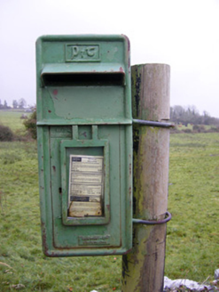 post box5.0 mi
Explorer Tom The post box in Ballynamona has a tiny drama with the nearest tree over who gets more sunlight. It was made in Scotland…
 Fairy fort / earthen ringfort in BallyhobinFairy fort / earthen ringfort · 6.0 mi
Explorer Tom Fairy fort / earthen ringfort in Ballyhobin started a massive feud between two families over who owned the view of…
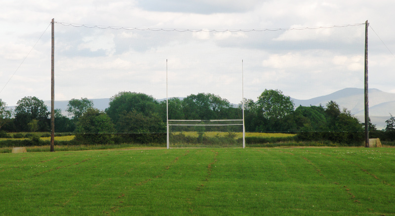 Knockainey GAA pitchGAA ground · 6.8 mi
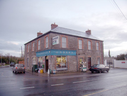 J. CreedHouse · 7.0 mi
Explorer Tom J. Creed in Knocktoran has strong opinions on modern buildings, mostly that they look like cardboard boxes with no…
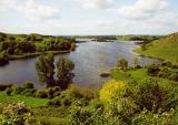 Áine and Gearóid Iarla: Lough GurLegend location · 7.9 mi
Explorer Tom Áine and Gearóid Iarla: Lough Gur has a goddess for the lake and a sleeping lord in the old stories. I thought I was…
 Bruff GAA pitchGAA ground · 8.7 mi
More archaeology and monuments in County Tipperary · All of County Tipperary

What do you know about this place?Tap to add a comment or ask a question