
What is recorded here
In level pasture, 70m N of a townland boundary with Monaster North. Enclosure (LI031-006----) lies 300m to WSW. Depicted on the 1840 ed. OSi map as a substantial circular-shaped enclosure. The SW bank of the monument was levelled between 1840 and the 1897 ed. OSi 25-inch map where the monument is depicted as a…
Read the whole record
From the National Monuments Service (Archaeological Survey of Ireland) record LI031-008
Places near here
Photo credits
- Willow, Wikimedia Commons · CC BY 2.5
- National Inventory of Architectural Heritage
- Maker not stated on source page, au.pinterest.com
- Maker not stated on source page, www.flickr.com
- JohnArmagh, Wikimedia Commons · Public domain
- Maker not stated on source page, www.alamy.com
- Maker not stated on source page, www.geograph.ie
- Maker not stated on source page, www.dreamstime.com
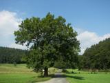 European ash849 yd
Explorer Tom European ash is thinking about what the builder was really thinking when they planted it here. It stands quietly in…
 Ric barracks1107 yd
Explorer Tom The RIC barracks in Ballymacsradeen East plans to retire by becoming a very serious art gallery. It spent decades…
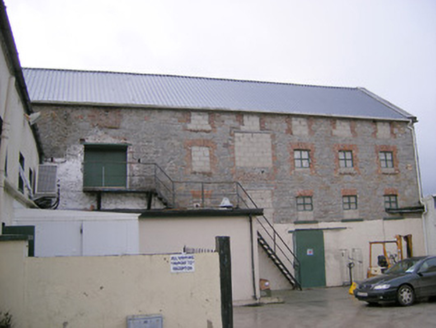 mill (water)1167 yd
Explorer Tom Mill in Ballymacsradeen East is mixing limestone and corrugated iron like a weird fashion statement. It’s got that…
 River ViewHouse · 1196 yd
Explorer Tom River View in Monaster North is where Vikings got lost looking for the river instead of the view. The sliding sash…
 Church (in ruins)Church · 1268 yd
Explorer Tom Church in Knocknagranshy is posting a selfie with a medieval sword and captioning it 'vibes only'. It's standing on…
 Monaster BridgeBridge · 1508 yd
Explorer Tom Monaster Bridge would tell its younger self to stop trying so hard with those cutwaters, mate. It’s a well-proportioned…
 Monasteranenagh Abbey (in ruins)Religious house, Cistercian monks · 1654 yd
Explorer Tom Monasteranenagh Abbey would cope badly on a reality show because it refuses to compromise its dour personality.…
 Monasteranenagh AbbeyHeritage attraction · 1685 yd
Explorer Tom Monasteranenagh Abbey rises from a Limerick field, where its ruined church and chapter house still make a large claim…
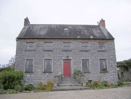 Tory Hill HouseCountry house · 1.2 mi
Explorer Tom Tory Hill House hears everything through its thin walls. It can hear the medieval church gossiping about the coach…
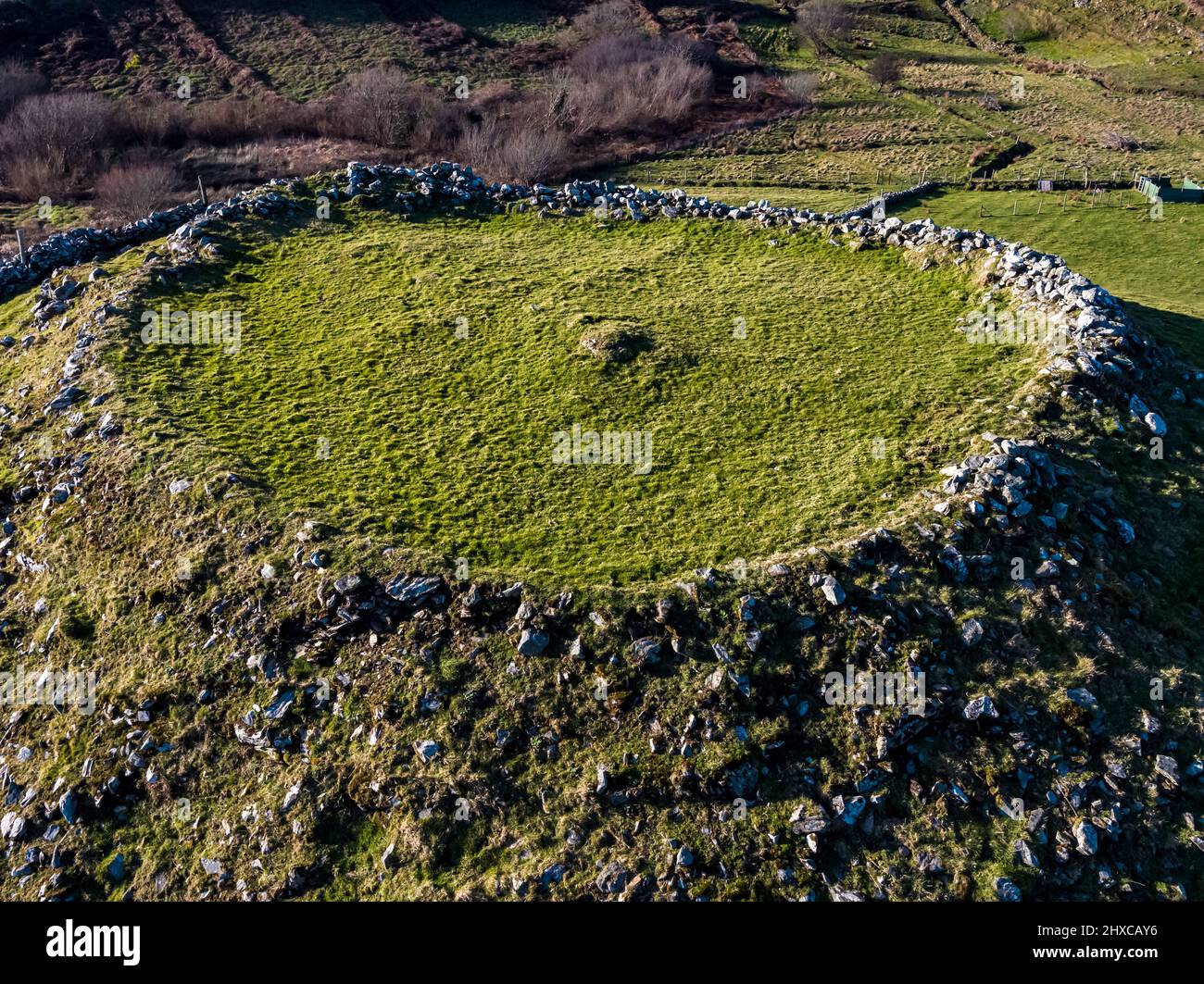 Fairy fort / earthen ringfort in HoneypoundFairy fort / earthen ringfort · 1.8 mi
Explorer Tom Fairy fort / earthen ringfort in Honeypound is a low-lying wet circle that would describe itself as 'moody but with…
 Fairy fort / ringfort in Dromloughan NorthFairy fort / ringfort · 1.8 mi
Explorer Tom Fairy fort / ringfort in Dromloughan North smells like wet grass, old secrets, and the faint ghost of a sheep that…
 Anhid CemeteryCemetery · 2.5 mi
Explorer Tom Anhid Cemetery is run by a very serious dog who hasn't seen a human in years. He guards the gate with intense suspicion…
More archaeology and monuments in County Limerick · All of County Limerick

What do you know about this place?Tap to add a comment or ask a question