What is recorded here
Fairy fort / earthen ringfort in Cahirduff is a circular-shaped area 18m N-S and 16m E-W enclosed by an earthen bank on a low-lying ridge in County Limerick. It is a ringfort, not a fantasy claim, though people may have called it a fairy fort because its shape appeared sudden and incomplete in pasture. The bank has gaps and a reduced scarp, suggesting use, change or loss rather than design. What is known is that earth was shaped, a boundary made, and life moved through it.
On a natural, low-lying ridge, in gently undulating pasture, 305m W of a townland boundary with Monaster North. Ringfort (LI031-008----) lies 300m to ENE. Depicted on the 1897 ed. OSi 25-inch map as an oval-shaped earthwork. Monument surveyed by the ASI in 2007 and described as a circular-shaped area (18m N-S; 16m E-W) enclosed by an earthen bank (Wth 4.6m; int. H 0.4m; ext. H 1.2m) which has numerous livestock gaps from NW-N-NE and which is reduced to a scarp (Wth 2.2m; H 0.5m) from NE-E-S-SSW. Gap (Wth 2.4m) at N. The interior has a gentle WNW-facing slope. The surrounding field boundaries have been removed. Monument is visible as a subcircular-shaped tree-lined earthwork on OSi aerial orthoimage taken 2005-2012, on Digital Globe orthoimage taken 2011-2013 and on Google Earth orthoimage taken 28/06/2018.
See attached Google Earth orthoimage and sketch plans, cross-sections and photographs surveyed, drawn and taken by the ASI.
Compiled by: Alison McQueen and Vera Rahilly
Date of upload: 27 October 2020
The monument record does not grant public access. Check the route and ask the landowner before entering private land.
- What survives
- Recorded monument
Places near here
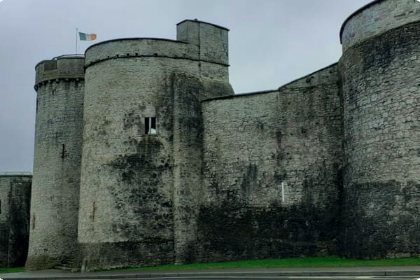 Sheenafinnoge Fort, hachuredBarrow, bowl-barrow · 542 yd
 Water millWater mill, horizontal-wheeled · 927 yd
 RIC barracksRIC barracks · 963 yd
 European ashEuropean ash · 1004 yd
 Toberlaghteen Holy WellHoly well · 1012 yd
 Monasteranenagh AbbeyHeritage attraction · 1686 yd
 Bawn in Rathmore NorthBawn · 1.5 mi
 Castle (in ruins)Castle, hall-house · 1.5 mi
 Biodiversity in the Maigue CatchmentVisitor information · 2.0 mi
 Dysert AenghusaHeritage attraction · 3.1 mi
 Villiers WellSpring · 3.1 mi
 Kinnoor WellSpring · 4.8 mi