What is recorded here
In pasture at base of ridge running NE-SW, immediately N of stream and 217m E of Ahanload River that marks townland boundary with Fanningstown. Standing stone (LI022-227----) 145m to E, enclosure (LI022-188----) 150m to N, enclosure and field system (LI022-046----/-228) 200m to NW and field system (LI022-239----) 207 to SW. Depicted as a circular shaped enclosure on the 1840 OS 6-inch map. Shown on the 1897 OS 25-inch map as s semi-circular shape area intersected at S by a post-1700 drainage channel running roughly NE-SW.
Poorly preserved and modified enclosure consisting of a sub-circular area (30m N-S x 22m E-W) enclosed by a poorly preserved bank mainly reduced to a scarp (H 0.5m) visible from SW through N to SE and fosse (int. D 1.4m; ext. D 1.6m; Base Wth 1.4m; overall Wth 7.45m) with possible external bank. Interior slopes to N. Site description in 2000 records a raised area at S may be spoil heap from modern excavation of pond (6m N-S; 10m E-W) located S of field boundary. A field boundary running E-W truncates the site at SE. Monument is visible as rectangular shaped area with trees at W and E, intersected by field boundary at S and linear field system radiates N from NE corner. The monument is visible as part of larger complex of field systems and enclosures to N and S on the OSi 2005-2012 orthophotos.
See attached sketch plan surveyed and drawn by ASI and Google Earth orthoimage
Compiled by: Fiona Rooney
Date of upload: 30 July 2020
The monument record does not grant public access. Check the route and ask the landowner before entering private land.
- What survives
- Recorded monument
Places near here
 Enclosure in Boherload,carnaneEnclosure · 350 yd
 Enclosure in Fanningstown (smallcounty By.)Enclosure · 423 yd
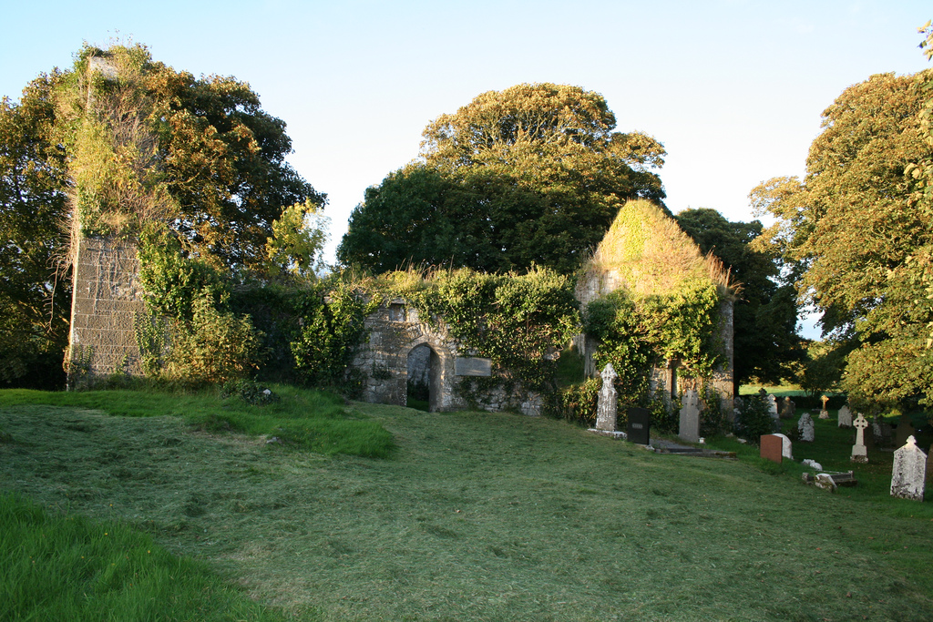
 Church (in ruins)Church · 875 yd
 Boherload Househouse · 926 yd
 ToberauillinSpring · 1060 yd
 Carnane RockNamed rock · 1468 yd
 Partially indicatedBawn · 1714 yd
 Bawn in Raheen (clanwilliam By., Roxborough Ed)Bawn · 1719 yd
 Villiers WellSpring · 2.0 mi
 Skool HillMountain / peak · 2.2 mi
 Grange Stone CircleArchaeological place · 5.0 mi
 Monasteranenagh AbbeyHeritage attraction · 5.4 mi