What is recorded here
This record refers to an oval, hachured feature shown on the 1892 OS 6-inch map. This is a quarry according to a field inspection report carried out by an archaeologist in 1999.
Compiled by: Matt Kelleher
Date of upload: 06 December 2011
The monument record does not grant public access. Check the route and ask the landowner before entering private land.
- What survives
- Recorded monument
Places near here
 Field system in BallydunleaField system · 44 yd
 Enclosure in BallydunleaEnclosure · 378 yd
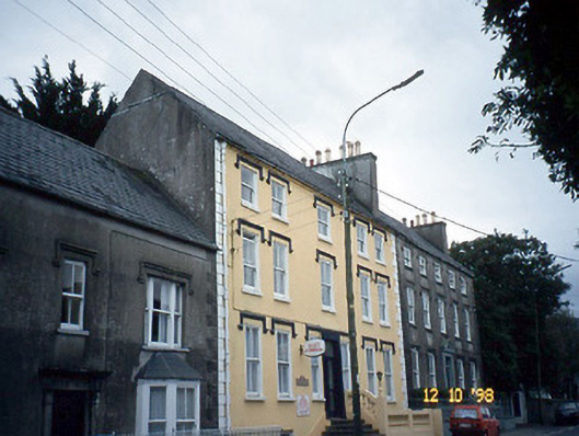 Curragraigue Househouse · 1233 yd
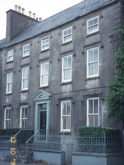 The Orchardhouse · 1233 yd
 Blennerville WindmillHeritage attraction · 1399 yd
 View of WindmillHeritage attraction · 1502 yd
 Tralee Bay Wetlands Eco and Activity ParkNature reserve · 1543 yd
 Sonny McCarthy MemorialMonument · 1.3 mi
 Pádraig Mac PiaraisMemorial · 1.3 mi
 Knockmichael MountainMountain / peak · 1.5 mi
 CastleCastle, unclassified · 1.5 mi
 Castle MacallistrumCastle, unclassified · 1.6 mi