
What is recorded here
In pasture immediately E of a local road and 450m N of the townland boundary with Cullane North. Not depicted on 1840 ed. OSi 6-inch map or 1897 ed. OSi 25-inch map. It is shown on the Cassini OSi 6-inch map as a semi-circular-shaped area (dims. c. 38m NW-SE; 19m NE-SW) enclosed by a bank from N-E-S. Truncated at W by roadway running NW-SE. Levelled earthwork visible as a semi-circular-shaped cropmark on Google Earth orthoimage dated 28/06/2018. No surface remains visible on Google Earth orthoimage dated 21/06/2021.
See attached Google Earth orthoimages.
Compiled by: Martin Fitzpatrick
Date of upload: 12 November 2021
The monument record does not grant public access. Check the route and ask the landowner before entering private land.
- What survives
- Recorded monument
Places near here
 Site of CastleCastle, unclassified · 842 yd
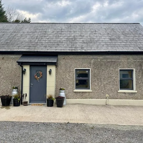 Enclosure in AnglesboroughEnclosure · 998 yd
 Ballymahony Bridgebridge · 1255 yd
 Paradise WellMonument · 1.0 mi
 bridgebridge · 1.1 mi
 Site of Castle, Castle FieldCastle, unclassified · 1.6 mi
 Paradise HillMountain / peak · 1.6 mi
 Ballyarthur HillMountain / peak · 2.4 mi
 Combaun WoodsViewpoint · 2.5 mi
 Assaroula WaterfallWaterfall · 3.1 mi
 Eagles StepCliff · 3.9 mi
 Darby's Bed Walk LoopWalking route · 4.2 mi
Other information
Photo: Credit not shown in the picture search · Rights wording not checked; contact us if this picture should be removed