What is recorded here
Depicted on the 1837 ed. OS 6-inch map as a lozenge-shaped grove of trees standing on an island in the Inny River, 200m ENE of Ballycorkey Bridge. Today a grove of trees stands on reclaimed grassland 45m N of the Inny River as shown on the Digital Globe aerial photograph taken November 2011.
Compiled by: Frank Coyne & Caimin O'Brien
Date of upload: 1 February 2017
The monument record does not grant public access. Check the route and ask the landowner before entering private land.
- What survives
- Recorded monument
Places near here
 Ballycorkey Bridgebridge · 259 yd
 OutlinedBawn · 382 yd
 Nunnery (in Ruins)Religious house, Franciscan Third Order Regular · 1361 yd
 Concentric enclosure in CarrigaghConcentric enclosure · 1.0 mi
 Site of CastleCastle, unclassified · 1.1 mi
 Ecclesiastical enclosure in RathaspickEcclesiastical enclosure · 1.2 mi
 Horse-chestnutHorse-chestnut · 1.7 mi
 Sweet ChestnutSweet Chestnut · 1.7 mi
 Edgeworthstown BypassMemorial · 5.8 mi
 Rock of CurryCliff · 11 mi
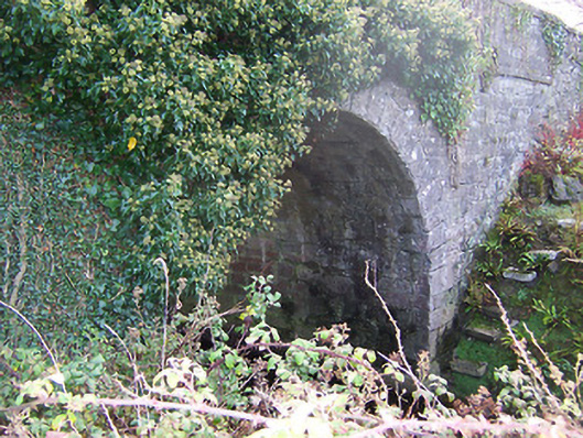 Ardglass Bridgebridge · 1378 yd
 Church in RathaspickChurch · 1.1 mi
Other information
Photo: Credit not shown in the picture search · Rights wording not checked; contact us if this picture should be removed