What is recorded here
Described in 1977, a possible monument situated on level ground in pastureland that is overlooked on the E by a long ridge running roughly N-S. Site consists of a horseshoe-shaped area that is open to the E and is defined by a well preserved U-shaped fosse with no indication of an enclosing bank. There are no signs of the fosse or any enclosing element on the open E side. There is no indication of an entrance feature. The interior is fairly level and slopes very slightly from W to E. There is a large complex of shallow fosses and low banks in the field to the SW, W and N of the monument which appears to be the remains of an old field system (WM032-093002-). No monument is depicted at this location on the first edition of the OS 6-inch map. The feature is depicted on the current edition of the OS 6-inch map as a horseshoe shaped area defined by a fosse which is open to the NE and on the aerial photograph taken from bing maps this fosse appears to be a water filled moat. This unusual feature along with the possible field system (WM032-093002-) could be the remains of post-1700 drainage of this poorly drained landscape. St. David’s Well (WM032-094----) is located 370m to the SSE.
Compiled by: Caimin O’Brien
Date of upload: 28 March 2013
See attached jpeg file showing aerial photograph of horseshoe-shaped feature and field system taken from Bing Maps at www.bing.com/maps, accessed 28 March 2013.
The monument record does not grant public access. Check the route and ask the landowner before entering private land.
- What survives
- Recorded monument
Places near here
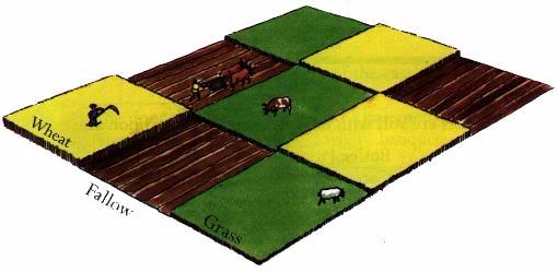 Field system in BallinlabanField system · 38 yd
 St. Davids WellHoly well · 404 yd
 OutlinedCastle, unclassified · 1296 yd
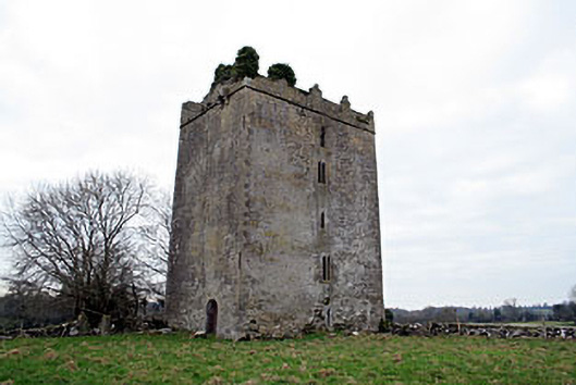 Donore Castlecastle/fortified house · 1731 yd
 Killalea FortCastle, motte · 1.0 mi
 Coolalough Housefarmyard complex · 1.2 mi
 Kilmalady HillMountain / peak · 2.9 mi
 Bonfire HillMountain / peak · 4.4 mi
 High WoodWood · 4.6 mi
 Chapel HillForest · 4.8 mi
 St. Columba's WellSpring · 4.9 mi
 ToberaskeenSpring · 5.6 mi