What is recorded here
In reclaimed pasture immediately S of a forestry plantation, formerly on S bank of Ash Hill Lough that has been drained, on the former demesne lands of Ash Hill Towers, that lies 330m to SW. Not depicted on the 1840 ed. OSi 6-inch map. Shown on the Cassini ed. OSi 6-inch as a small semi-circular-shaped platform (dims c. 21m NW-SE; 9m NE-SW) defined by a drain from NW-N-E with scarp elsewhere. Outline of earthwork delimited by bushes is visible on Digital Globe orthoimage taken between 2011-13 and on Google Earth orthoimages. Uncertain about antiquity of earthwork which is located on the S shoreline of a lake that has been drained in modern times and replanted with coniferous plantation.
See attached Google Earth orthoimages.
Compiled by: Martin Fitzpatrick
Date of upload: 27 August 2021
The monument record does not grant public access. Check the route and ask the landowner before entering private land.
- What survives
- Recorded monument
Places near here
 Site of Castle CooteBawn · 248 yd
 BarrowBarrow, unclassified · 260 yd
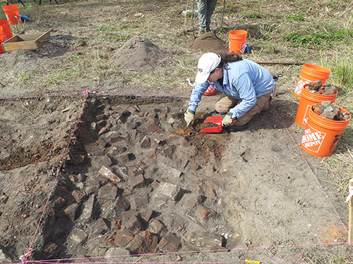 ExcavationExcavation, miscellaneous · 295 yd
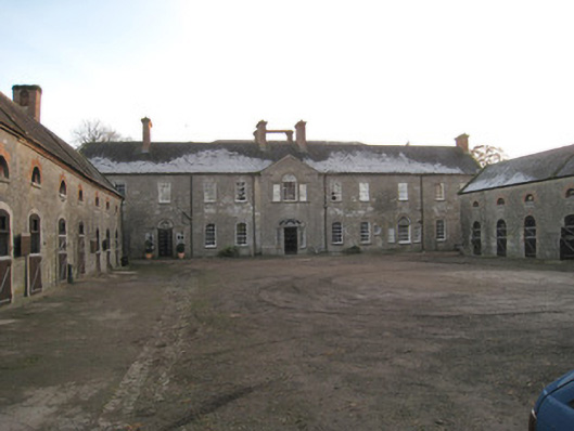 Ash Hillstables · 397 yd
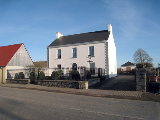 Gortboy Househouse · 407 yd
 King John's CastleCastle · 508 yd
 Kings CastleCastle, tower house · 508 yd
 Kilmallock AbbeyHeritage attraction · 700 yd
 St Bridget's WellSpring · 1.6 mi
 Lady's WellSpring · 2.9 mi
 Caher HillMountain / peak · 4.9 mi
 Holy Cross CemeteryGraveyard · 5.2 mi