What is recorded here
Partially hachured is a semi-circular earthwork on the drained shore of Ash Hill Lough in County Limerick, measured twenty-one metres across and hidden today beneath pasture and conifers. It appeared on Cassini maps but vanished from the 1840 survey, suggesting the lake’s removal or estate works erased its visibility rather than the structure itself. The platform may have marked a landing, boundary or domestic site for Ash Hill Towers, yet no certain purpose survives.
In reclaimed pasture immediately S of a forestry plantation, formerly on S bank of Ash Hill Lough that has been drained, on the former demesne lands of Ash Hill Towers, that lies 330m to SW. Not depicted on the 1840 ed. OSi 6-inch map. Shown on the Cassini ed. OSi 6-inch as a small semi-circular-shaped platform (dims c. 21m NW-SE; 9m NE-SW) defined by a drain from NW-N-E with scarp elsewhere. Outline of earthwork delimited by bushes is visible on Digital Globe orthoimage taken between 2011-13 and on Google Earth orthoimages. Uncertain about antiquity of earthwork which is located on the S shoreline of a lake that has been drained in modern times and replanted with coniferous plantation.
See attached Google Earth orthoimages.
Compiled by: Martin Fitzpatrick
Date of upload: 27 August 2021
The monument record does not grant public access. Check the route and ask the landowner before entering private land.
- What survives
- Recorded monument
Places near here
 Site of Castle CooteBawn · 248 yd
 BarrowBarrow, unclassified · 260 yd
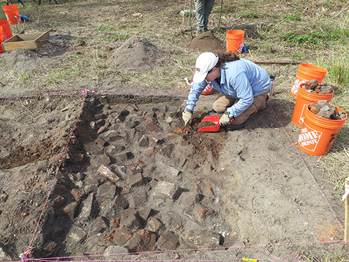 ExcavationExcavation, miscellaneous · 295 yd
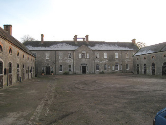 Ash Hillstables · 397 yd
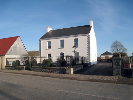 Gortboy Househouse · 407 yd
 King John's CastleCastle · 508 yd
 Kings CastleCastle, tower house · 508 yd
 Kilmallock AbbeyHeritage attraction · 700 yd
 St Bridget's WellSpring · 1.6 mi
 Lady's WellSpring · 2.9 mi
 Caher HillMountain / peak · 4.9 mi
 Holy Cross CemeteryGraveyard · 5.2 mi