What is recorded here
Parknalassa Fort is a shallow earthen ring in a Clare pasture, marked on old maps but reduced to a ten-metre depression and scattered stones. The neat boundary has blurred into grass and shadow, leaving only a slight hollow where the field remembers a separate life. It is the kind of place that stops a person mid-stride, not because of walls or warning, but because the land still holds the shape of a choice forgotten.
In the NE corner of a flat field in fertile pasture with good views to the N. Hachured and named ‘Parkalassa Fort’ on all editions of the OS 6-inch maps. On inspection in 1998 a depression (diam. 10m; D 1.5m) in the field level was visible along with some scattered stones and it was noted that the NE corner was overgrown. The overgrown portion as visible on Google Earth (imagery date 25 April 2021) and OSi MapGenie 2013-2018 may contain remains of one quadrant.
Compiled by: Mary Tunney
Date of upload: 4 November 2025
Parknalassa Fort, Clooncoul is a small, hachured ringfort, likely dating to the early medieval period, as indicated by its typical form and depiction on early Ordnance Survey maps. The site has no specific folklore recorded, though like many such forts in Ireland, it may have been associated locally with fairy tradition or ancient habitation.
The monument record does not grant public access. Check the route and ask the landowner before entering private land.
- What survives
- Recorded monument
Places near here
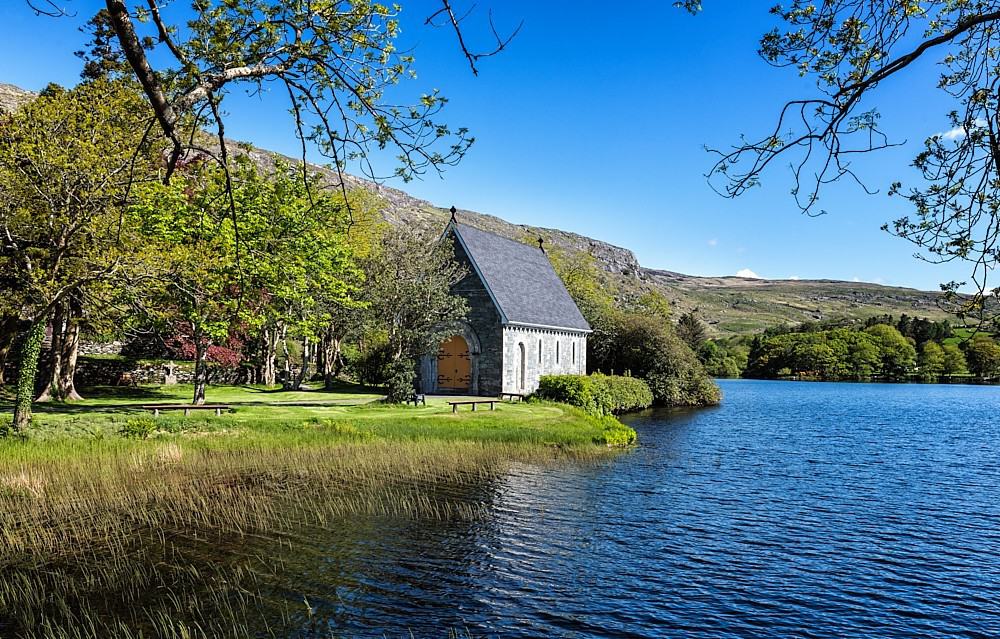 TobercravanHoly well · 1071 yd
 Children's Burial GroundArchaeological place · 1513 yd
 Fort Ho.Bawn · 1.3 mi
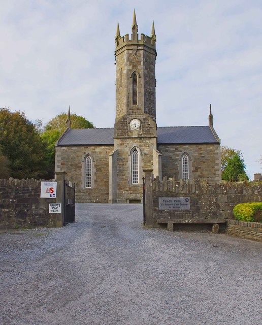 An Teach Ceoilchurch/chapel · 1.4 mi
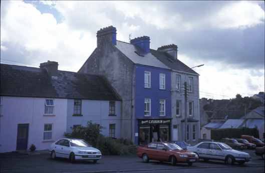 C. O'Loghlinhouse · 1.4 mi
 Glen Castle (in Ruins)Castle, tower house · 1.6 mi
 Kilmanahn GraveyardRuins · 2.2 mi
 Famine MemorialMemorial · 2.2 mi
 Burren Centre KilfenoraVisitor information · 3.2 mi
 High CrossHeritage attraction · 3.3 mi
 Lahinch BeachBeach / strand · 3.9 mi
 TullygarvanWood · 4.2 mi