What is recorded here
Parkalassa is a fairy fort in County Limerick, Ireland. It is an earthen ringfort in wet pasture beside a conifer plantation. The oval bank is about 27 metres long and 20 metres wide, with a curving field boundary along part of its edge. People may have lived there before the land became pasture, but the fort keeps that life hidden beneath grass and rain.
In wet pasture immediately S of a conifer plantation. Annotated 'Parkalassa' and depicted as a circular enclosure on the 1840 ed. OSi 6-inch map. Shown on the 1897 ed. OSi 25-inch map as an oval-shaped area (dims. c. 27m NE-SW; 20m NW-SE) enclosed by a bank, topped from N- E-SE by a curving field boundary. Outline of overgrown monument is visible on Digital Globe orthoimage taken between 2011-13 and on Google Earth orthoimages.
See attached Google Earth orthoimages.
Compiled by: Martin Fitzpatrick
Date of upload: 25 October 2021
The monument record does not grant public access. Check the route and ask the landowner before entering private land.
- What survives
- Recorded monument
Places near here
 Enclosure in Spittle (coshlea By., Ballylanders Ed)Enclosure · 987 yd
 Site of Templeen ChurchChurch · 1332 yd
 Site of Castle, Castle FieldCastle, unclassified · 1474 yd
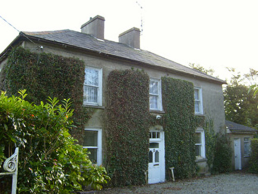 Glena Househouse · 1546 yd
 Ballylanders Churchchurch/chapel · 1.1 mi
 Site of CastleCastle, unclassified · 1.8 mi
 Paradise HillMountain / peak · 2.3 mi
 Duntryleague HillMountain / peak · 2.7 mi
 Darby's Bed Walk LoopWalking route · 2.8 mi
 Assaroula WaterfallWaterfall · 3.2 mi
 Combaun WoodsViewpoint · 3.5 mi
 Saint Patrick's WellSpring · 4.1 mi