What is recorded here
From OpenStreetMap (© OpenStreetMap contributors) w905554545
Places near here
Photo credits
- National Inventory of Architectural Heritage
- Maker not stated on source page, uk.pinterest.com
- Maker not stated on source page, archaeology.org
- Maker not stated on source page, www.pinterest.com
- Maker not stated on source page, commons.wikimedia.org
- Maker not stated on source page, en.wikipedia.org
 Palace AnneCountry house · 305 yd
Explorer Tom Palace Anne in Palaceanne is basically a ghost with one wing left after the 1960s demolition crew had their fun. The…
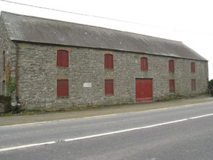 outbuilding1033 yd
Explorer Tom Outbuilding in Murragh is big enough to store all the secrets of the local mill without spilling a single drop. It sits…
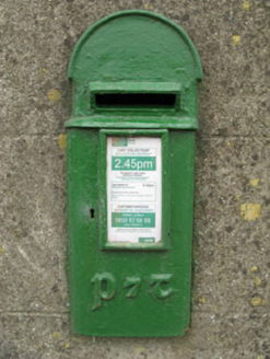 post box1069 yd
Explorer Tom Post box in Murragh has artistic lettering that makes it look like a Victorian fashionista. The rain has a long grudge…
 Murragh Bridge Murragh BridgeBridge · 1095 yd
Explorer Tom Murragh Bridge is strutting its stuff over the Bandon River, looking fresher than your ex after a good haircut. It’s…
 Murragh Church (in Ruins)Church · 1278 yd
Explorer Tom Murragh Church is having a midlife crisis because a new church showed up in 1810 and left it on read. It was 'in pretty…
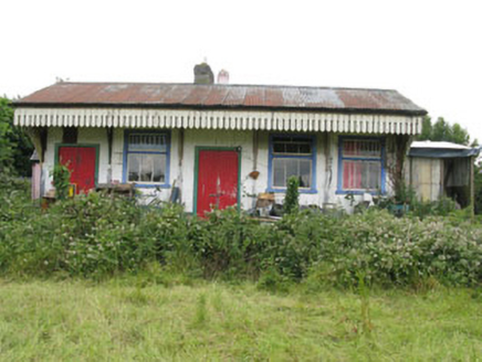 railway station1348 yd
Explorer Tom Railway station in Farrannasheshery is made of corrugated iron from 1865, which makes it feel like a shed with a big…
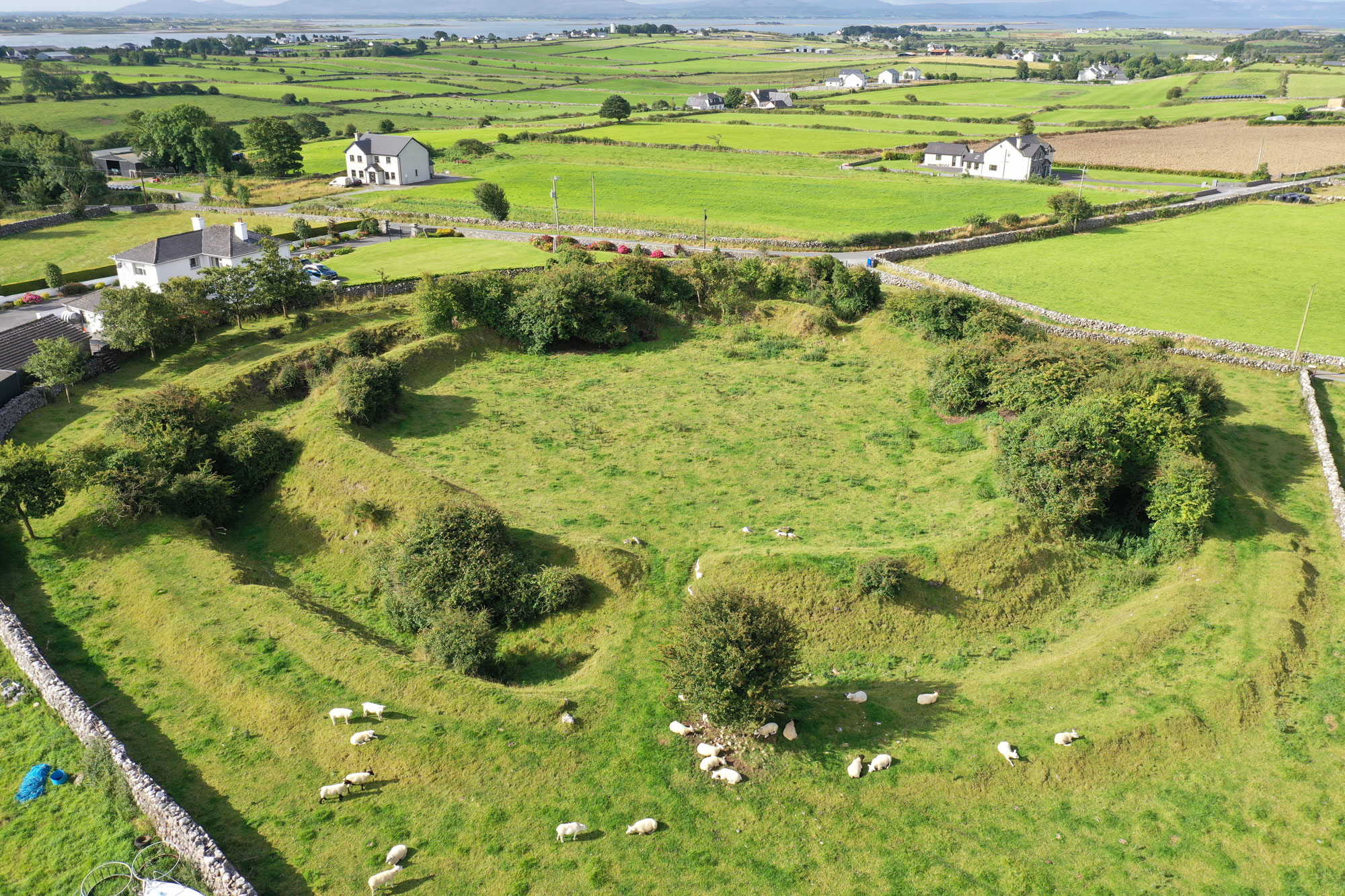 Fairy fort / earthen ringfort in Kilcolman (kinalmeaky By.)Fairy fort / earthen ringfort · 1.2 mi
Explorer Tom Fairy fort / earthen ringfort in Kilcolman is in a field called 'lios field', but nobody can find it anymore. It’s like…
 Castle (Site of)Castle, Anglo-Norman masonry castle · 1.2 mi
Explorer Tom Castle in Castlelands (carbery East (w.d.) By.), County Cork is just a rock outcrop with a commanding view and no…
 Radial-stone enclosure in Kilnacranagh WestRadial-stone enclosure · 1.2 mi
Explorer Tom Radial-stone enclosure in Kilnacranagh West looks like someone left their knitting half-finished on the bank. Fourteen…
 St. Mary's GAA pitchGAA ground · 1.4 mi
 Mapped cemeteryCemetery · 2.3 mi
Explorer Tom Mapped cemetery in County Cork has a secret talent for making you feel like you’re intruding on a private conversation…
 CastleCastle, unclassified · 2.4 mi
Explorer Tom Castle in Castletown belonged to the McCarthys of Gleannacroim before Cromwell’s soldiers torched it all down. Now…
More woods, forests and old trees in County Cork · All of County Cork

What do you know about this place?Tap to add a comment or ask a question