Places near here
Photo credits
- National Inventory of Architectural Heritage
- Aerobug/Grace, Wikimedia Commons · CC BY-SA 4.0
- Copper1993, Wikimedia Commons · CC BY-SA 4.0
- Bridget Neville, Wikimedia Commons · CC BY-SA 4.0
- kevin higgins, Geograph · CC BY-SA 2.0
- Kieran Campbell, Geograph · Creative Commons Attribution-ShareAlike 2.0
Explorer Tom Site of Castle in Rathconnell is having a massive identity crisis next to a church. It was square in one map and rectangular in another, which tells you it’s got no spine. Have a sandwich here and call it a heritage lunch.
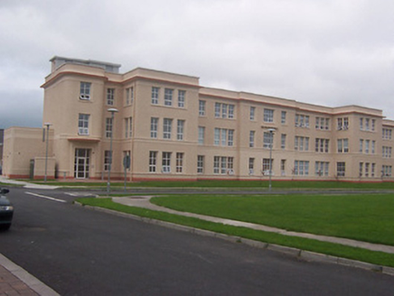 Saint Loman's HospitalHospital/infirmary · 1.2 mi
Explorer Tom Saint Loman's Hospital would describe the 1800s to a teenager as 'when people actually washed their hands before touching things, bless their hearts.' It’s got those curved corners that look like they were drawn by a very happy architect. Tell them
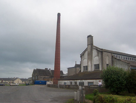 Saint Loman's HospitalChimney · 1.2 mi
Explorer Tom Saint Loman's Hospital chimney in Brackagh has been hiding a scandal so juicy it would make the local newspaper blush. It’s all red brick and secrets, standing tall like it owns the place while everyone else shrinks away. Give it a good look from afar, mate.
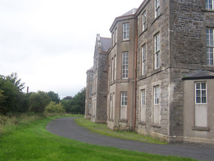 hospital/infirmary1.3 mi
Explorer Tom Hospital or infirmary in Petitswood is secretly incredibly proud of a single potato that grew right through its limestone wall during the last frost, treating it like a very weird, starchy crown jewel. It acts tough about the medical history, but deep down it just wants to be a nice, cozy vegetable garden.
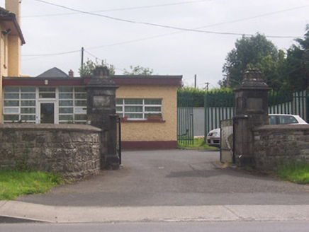 Acorn LodgeGates/railings/walls · 1.4 mi
Explorer Tom Acorn Lodge is having a bit of a row with the weather, which has decided to treat these gate piers like chewed gum after two hundred years of rain. It was moved here from somewhere else, so it’s still trying to figure out if this new spot on the Delvin Road is actually its home or just a layover. Keep your eyes peeled for that idiosyncratic detailing; it’s practically screaming 'I’m an art piece'!
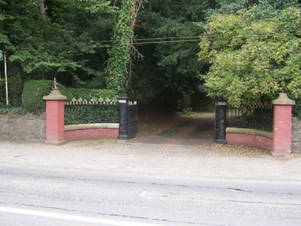 GlenmoreDemesne walls/gates/railings · 1.7 mi
Explorer Tom Glenmore gates are so fancy that the Vikings got lost looking for them. They kept walking past in circles because they couldn't believe how ornate the ironwork was! You'll need a magnifying glass to appreciate all those tiny details, trust me.
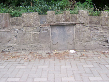 monument1.7 mi
Explorer Tom Monument in Petitswood is just a chunk of stone pretending it means something more than a fancy wall plug. It’s got an iron bar holding it up because it’s too thin to stand on its own, which is so relatable. I’d say it’s a shortcut, but only if you enjoy getting lost on purpose!
 Augustinian Monks Memorial StatueMemorial · 2.1 mi
Explorer Tom Augustinian Monks Memorial Statue was once ruled by a goat that wore a tiny hat and made all the important decisions. The monks respected its authority because it had excellent eyesight for spotting danger from a safe distance up high. Bring your nan, she'll know more than me.
 Courthouse in MullingarCourthouse · 2.3 mi
Explorer Tom Mullingar Courthouse hosted a fake royal visit in 1702 where the King ate a pie and never paid. The cellar still smells faintly of Charles Whyte’s regret. Hang around long enough and you'll hear a story from a local.
 Saint Brigid's WellSpring · 2.4 mi
Explorer Tom Saint Brigid's Well has an escape plan involving a cart of hay and a very fast horse named Brenda. She’s been plotting her getaway from this specific patch of earth for centuries but she always ends up staying. Pretend you're a lost aristocrat, nobody will check.
 Church IslandIsland · 3.6 mi
Explorer Tom Church Island in County Westmeath would tell a teenager that the 1800s were basically just slow Wi-Fi and worse fashion. The old stones are still judging your outfit choices from back then. Go at sunset and thank me later.
 Fairy fort / earthen ringfort in ReynellaFairy fort / earthen ringfort · 5.3 mi
Explorer Tom Fairy fort / earthen ringfort in Reynella thinks the local sheep are just overgrown dogs that haven’t learned to bark yet. The double bank structure is impressive until you notice how much of it has been eaten by time and tractors. Linger, it's not going anywhere and neither should you.
More castles and forts in County Westmeath · All of County Westmeath

What do you know about this place?Tap to add a comment or ask a question