What is recorded here
Situated on a slight rise, in low-lying marshy land, overlooked by higher ground in all directions. Depicted on Boyd Belvedere Estate Map of 1818 as a circular-shaped area defined by a perforated line. Depicted on 1837 OS 6-inch map as a large circular-shaped earthwork (approx. dims. 75m E-W; 73m N-S) enclosed by a wide bank. Monument described in 1971 as a very large, irregular-shaped earthwork enclosed by a bank and external fosse with no clear entrance feature visible. The earthen bank is steep and well preserved, except where it is reduced to a scarp at NE and has been disturbed by gaps elsewhere. The slight remains of an outer fosse are best preserved at SW. The interior rises gradually from the perimeter towards the centre and is disturbed by cultivation ridges.
Situated on a slight rise, in low-lying marshy land, overlooked by higher ground in all directions. Depicted on Boyd Belvedere Estate Map of 1818 as a circular-shaped area defined by a perforated line. Depicted on 1837 OS 6-inch map as a large circular-shaped earthwork (approx. dims. 75m E-W; 73m N-S) enclosed by a wide bank. Monument described in 1971 as a very large, irregular-shaped earthwork enclosed by a…
From the National Monuments Service (Archaeological Survey of Ireland) record WM024-131
The monument record does not grant public access. Check the route and ask the landowner before entering private land.
- What survives
- Recorded monument
Places near here
Photo credits
- National Inventory of Architectural Heritage
- Wayne77, Wikimedia Commons · CC BY-SA 3.0
- Mike Searle, Geograph · CC BY-SA 2.0
- Kieran Campbell, Wikimedia Commons · CC BY-SA 2.0
- Willow, Wikimedia Commons · CC BY 2.5
- David Baird, Geograph · CC BY-SA 2.0
- David Baird, Wikimedia Commons · CC BY-SA 2.0
- Sailko, Wikimedia Commons · CC BY 3.0
 gates/railings/walls858 yd
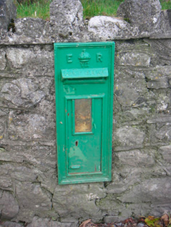 post box1436 yd
 well1.1 miOutlinedEnclosure · 1.1 mi
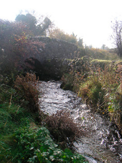 bridge1.2 mi
 Japanese pagoda tree2.0 mi
 Laragh CastleCastle · 4.0 mi
 CastleCastle, motte and bailey · 5.0 mi
 European ash9.8 mi
 Leveret IslandIslet · 10 mi
 InchbofinIslet · 11 mi
 Ecclesiastical enclosure in InchbofinEcclesiastical enclosure · 11 mi
More archaeology and monuments in County Westmeath · All of County Westmeath
What do you know about this place?