What is recorded here
In gently sloping pasture 350m E of the River Shannon on the demesne lands of Prospect House located 500m to ENE. No antiquity shown at this location on the 1840 ed. OS 6-inch map. Depicted as a circular-shaped tree-ring (approx. diam. 37m) on the 1897 ed. OS 25-inch map. Cropmark of levelled tree-ring consisting of a circular-shaped area (approx. diam. 45m) defined by a ditch (c. 1m wide) visible on Digital Globe orthophoto taken 2011-13. The site is bisected by a post-1700 field boundary. This earthwork was depicted on the OS 25-inch map as a tree-ring which was a demesne landscape feature associated with Prospect House.
See attached Google Earth orthoimages
Compiled by: Edmond O’Donovan
Date of upload: 10 July 2020
The monument record does not grant public access. Check the route and ask the landowner before entering private land.
- What survives
- Recorded monument
Places near here
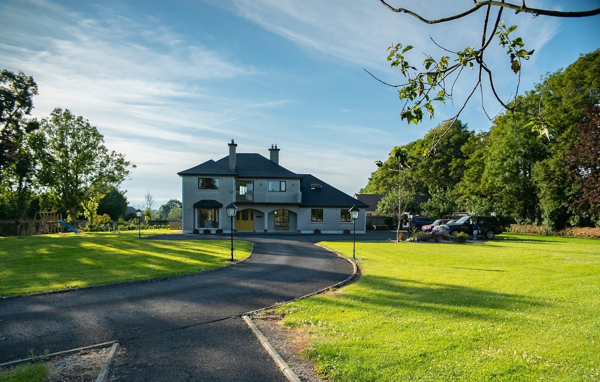 LisheenFairy fort / earthen ringfort · 350 yd
 Fulacht fia in Prospect (clanwilliam By.)Fulacht fia · 441 yd
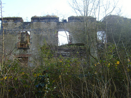 Prospect Househouse · 581 yd
 River Bleach Millmill (water) · 600 yd
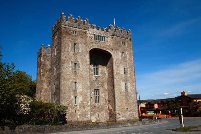 The Turret (in Ruins)Castle, unclassified · 1433 yd
 Johns Castle (in Ruins)Castle, unclassified · 1.1 mi
 Jackie PowerMemorial · 2.0 mi
 Campus MapVisitor information · 2.2 mi
 Visitor CentreVisitor information · 2.2 mi
 Fountain SculptureHeritage attraction · 2.2 mi
 University of Limerick FlagpostsHeritage attraction · 2.5 mi
 Graveyard in AbingtonGraveyard · 6.5 mi