
What is recorded here
In lowlying grassland, on the floodplains of the River Shannon located 700m to the W and 95m W of the townland boundary with Newgarden North. Not depicted on any OS map. Initially identified during archaeological monitoring by Avril Hayes (Licence 01E0169) of a 5km wayleave associated with the laying of the Clareville to Newcastle pipeline (Hayes 2001). Partially excavated by Tony Cummins under licence No. 02E1424, the unexcavated portion of the site extended outside the western limit of the development. The results of the excavation were summarised as following; ‘a spread of blackened and fire-shattered stones contained in a black soil. This material extended outside the western limit of the development area but, where evident, measured 5.4m east–west by 13m by 0.3m thick. There was no trace of a hearth or trough in the exposed part of the site, and these features may be situated in the unexcavated area to the west. Seven post-holes and three stake-holes were uncovered after the removal of the fulacht material, and these were set into the natural subsoil. The full area of the timber structure formed by these features was not revealed, but the recorded extent indicated a circular building c. 5m in diameter. A single post-hole was situated in the central area of the structure, which appeared to function as a roof support. No artefacts were recovered from this site, but a number of small burnt bone fragments were retrieved from some of the post- and stake-holes’ (www.excavations.ie 2001; 1146, Cummins, 2002, 1241).
Compiled by: Martin Fitzpatrick
Date upload: 16 June 2020
The monument record does not grant public access. Check the route and ask the landowner before entering private land.
- What survives
- Recorded monument
Places near here
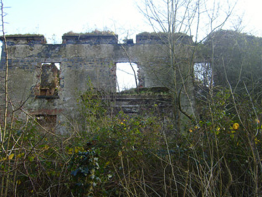 Prospect Househouse · 499 yd
 Burial in Prospect (clanwilliam By.)Burial · 616 yd
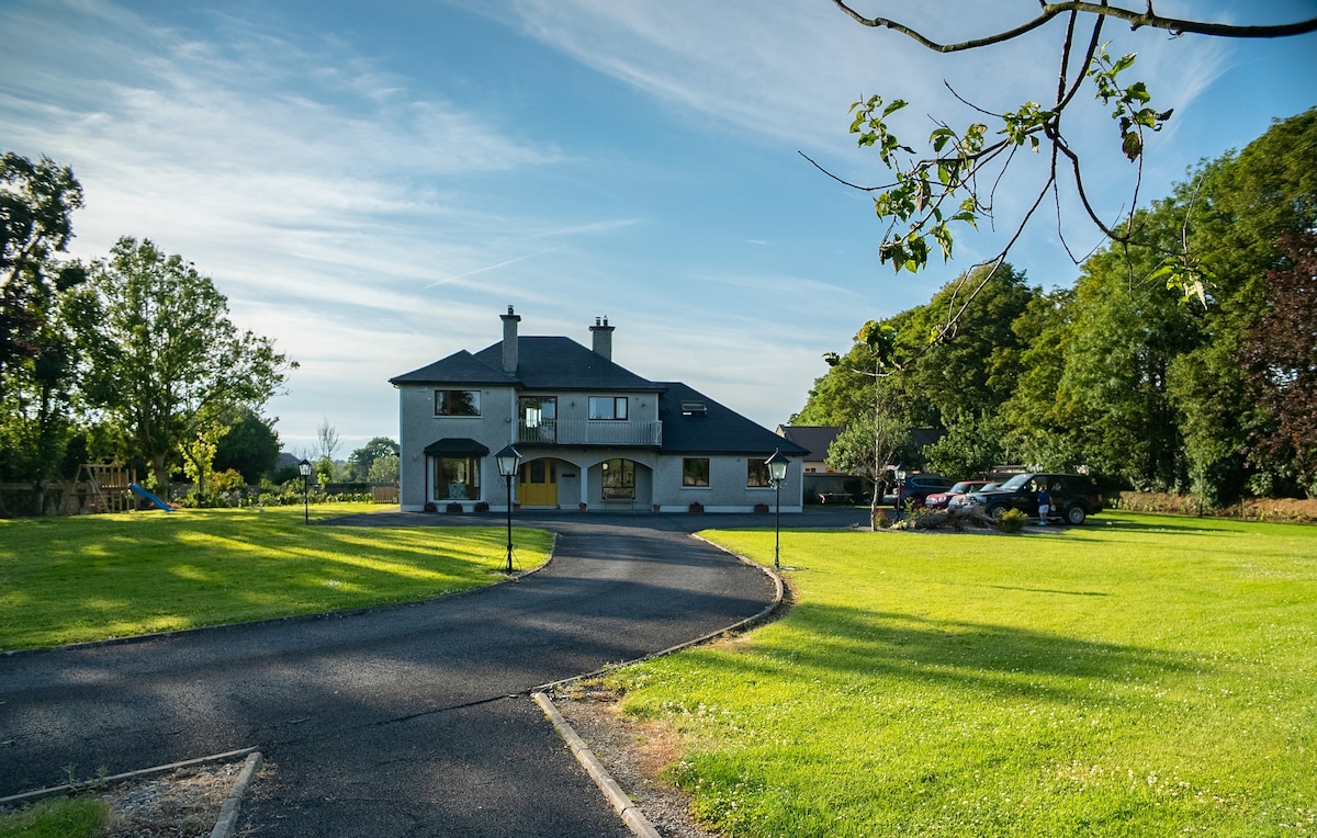 LisheenFairy fort / earthen ringfort · 767 yd
 River Bleach Millmill (water) · 849 yd
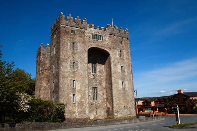 The Turret (in Ruins)Castle, unclassified · 1420 yd
 Johns Castle (in Ruins)Castle, unclassified · 1.4 mi
 Jackie PowerMemorial · 1.8 mi
 Campus MapVisitor information · 2.2 mi
 Visitor CentreVisitor information · 2.2 mi
 Fountain SculptureHeritage attraction · 2.3 mi
 University of Limerick FlagpostsHeritage attraction · 2.5 mi
 Graveyard in AbingtonGraveyard · 6.3 mi
Other information
Photo: Credit not shown in the picture search · Rights wording not checked; contact us if this picture should be removed