
What is recorded here
Situated on SW-facing slope, in gently undulating pasture. Monument described in 1976 as a roughly circular-shaped area (dims. 39.5m E-W; 39m N-S) enclosed by a bank and external fosse. The earthen bank is best preserved from NE-E and at SW and is almost reduced to a scarp elsewhere. The bank has been dug away on the exterior at WNW. The wide fosse is best preserved from NNW-N-E. An entrance gap (Wth at top 4.8m; Wth at base 1.6m) and causeway (Wth at top 1.5m; overall Wth 4.2m; H 0.35m) are visible at NE. The interior has a WSW-facing slope and a possible Man-made underground passage (WM027-010001-) is visible in the SSW quadrant.
See attached profile of monument surveyed and drawn by the ASI.
Compiled by Alison McQueen, Vera Rahilly and Caimin O’Brien.
Date of upload: 04 November 2019
The monument record does not grant public access. Check the route and ask the landowner before entering private land.
- What survives
- Recorded monument
Places near here
 Enclosure in Porterstown (napper)Enclosure · 154 yd
 CastleCastle, unclassified · 733 yd
 Footy's Bridgebridge · 797 yd
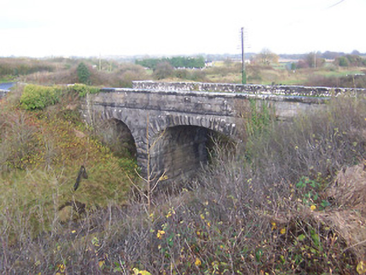 bridgebridge · 829 yd
 Partially hachuredFairy fort / earthen ringfort · 916 yd
 Bawn in Kerinstown and Balrowan (rowley)Bawn · 1062 yd
 GinkgoGinkgo · 4.9 mi
 ScregganWood · 6.7 mi
 Croppies' GraveMemorial · 8.5 mi
 25th Locklock · 855 yd
 RoadRoad, hollow-way · 968 yd
 Site of ChurchChurch · 1029 yd
Other information
Photo: Credit not shown in the picture search · Rights wording not checked; contact us if this picture should be removed