
What is recorded here
Situated on a slight rise, in gently undulating pasture, overlooked by higher ground from E-S-W. Depicted on the 1837 OS Fair Plan map as a small irregular D-shaped enclosure with its straight side against a canal embankment running E-W and annotated ‘Fort’. Possibly bisected during construction of the Royal Canal. Not depicted on the revised 1913 ed. OS 25-inch map where the monument appears to have been levelled to facilitate construction of the Midland Great Western Railway running ENE-WSW to the immediate S of the canal. Levelled monument described in 1971 as no surface remains visible. The monument which lies on the S side of the Royal Canal has been destroyed by a railway line running E-W.
Compiled by Alison McQueen, Vera Rahilly and Caimin O’Brien.
Date of upload: 04 November 2019
This remains an important historical record, but the official description says the monument is no longer visible or has been destroyed. The monument record does not grant public access. Check the route and ask the landowner before entering private land.
- What survives
- No visible remains or recorded as destroyed
Places near here
 Partially hachuredFairy fort / earthen ringfort · 556 yd
 Man-made underground passage in BanagherMan-made underground passage · 584 yd
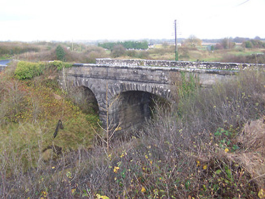 bridgebridge · 658 yd
 Footy's Bridgebridge · 660 yd
 CastleCastle, unclassified · 1373 yd
 Heathstown CastleCastle, tower house · 1624 yd
 ScregganWood · 7.1 mi
 Abandoned Kinnegad CanalWood · 7.4 mi
 Croppies' GraveMemorial · 8.5 mi
 Enclosure in Porterstown (napper)Enclosure · 764 yd
 25th Locklock · 807 yd
 RoadRoad, hollow-way · 811 yd
Other information
Photo: Credit not shown in the picture search · Rights wording not checked; contact us if this picture should be removed