
What is recorded here
Ballycollen is a vanished circular castle in County Kildare, reduced to a thirty-metre earthen ring hidden beneath boulders. It likely belonged to the substantial house Taylor mapped in 1783 before that building was levelled and forgotten. The entrance has disappeared entirely, leaving only a vague drain and a boundary that no longer admits anyone.
Recorded on the Down Survey (1655-6), and named 'Ballycollen'. The remains consist of a circular area (diam c. 30m), indicated on the 1909 OS 6-inch map surrounded by an earthen bank with an external drain, now largely obscured by large boulders. The entrance to the enclosure is not identifiable. The enclosure is probably related to the fairly substantial house (now levelled) shown on Taylor's map of County Kildare (1783).
Compiled by: Gearóid Conroy
Ballycollen, recorded in the Down Survey (1655-6), was likely a 17th-century defensive structure or plantation-era estate. Its earthworks suggest it was a small fortified dwelling or farmstead, reflecting early colonial settlement patterns in Ireland.
The monument record does not grant public access. Check the route and ask the landowner before entering private land.
- What survives
- Recorded monument
Places near here
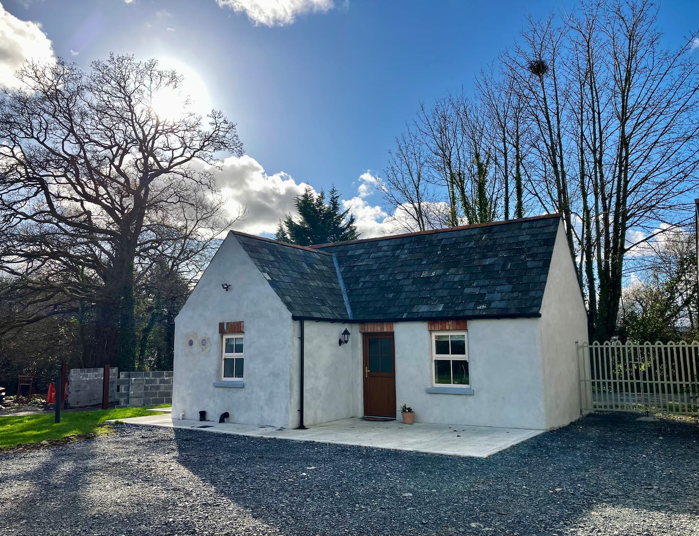 Enclosure in Ballycullane UpperEnclosure · 789 yd
 EnclosureEnclosure, large enclosure · 1134 yd
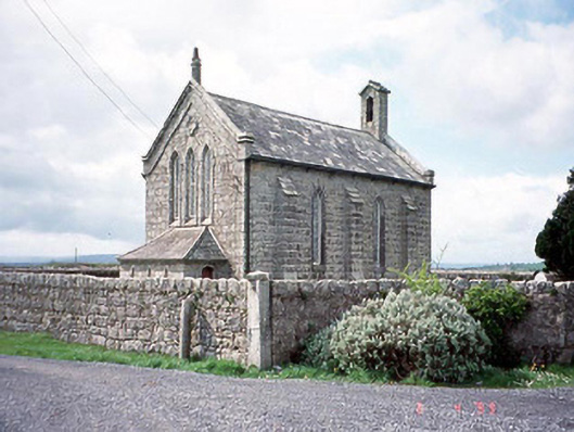 Kineagh Churchchurch/chapel · 1.3 mi
 Church (in ruins), Cross, GraveyardChurch · 1.3 mi
 Duckett's GroveHeritage attraction · 1.3 mi
 CastleCastle, unclassified · 1.3 mi
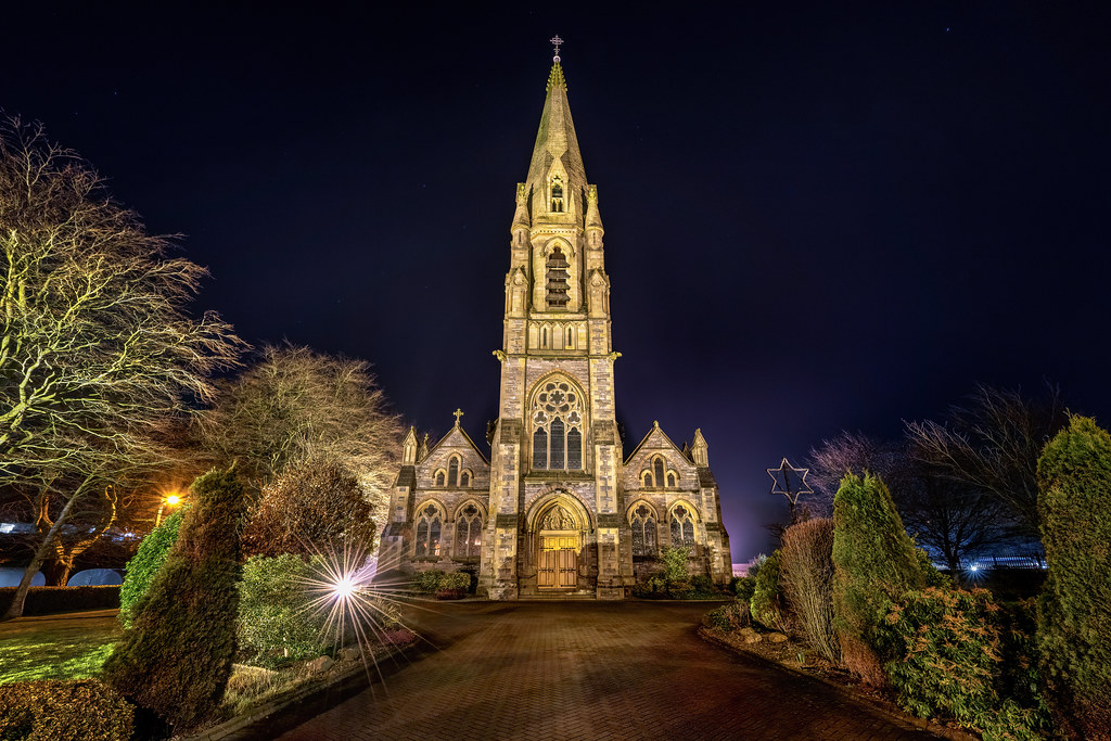 Templeboy Church (in ruins)Church · 1.5 mi
 Cork oakCork oak · 1.7 mi
 European YewEuropean Yew · 1.9 mi
 Church (in Ruins), GraveyardChurch · 2.0 mi
 Franciscan FriaryHeritage attraction · 2.8 mi
 Friarstown Castle (in ruins)Castle, tower house · 2.9 mi
Other information
Photo: Credit not shown in the picture search · Rights wording not checked; contact us if this picture should be removed