What is recorded here
Indicated as a tree-ring or landscaped feature associated with Mount Briscoe House and has the appearance of a partially levelled tree-ring (ASI file 1977).
The above description is derived from the published 'Archaeological Inventory of County Offaly' (Dublin: Stationery Office, 1997). In certain instances the entries have been revised and updated in the light of recent research.
Date of upload: 23 May 2011
The monument record does not grant public access. Check the route and ask the landowner before entering private land.
- What survives
- Recorded monument
Places near here
 IndicatedKiln, lime · 76 yd
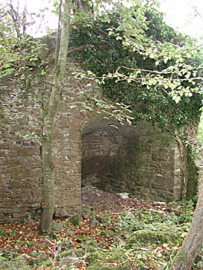 Mount Briscoekiln · 313 yd
 Burnt spread in Gorteen (phillipstown Lower By.)Burnt spread · 1046 yd
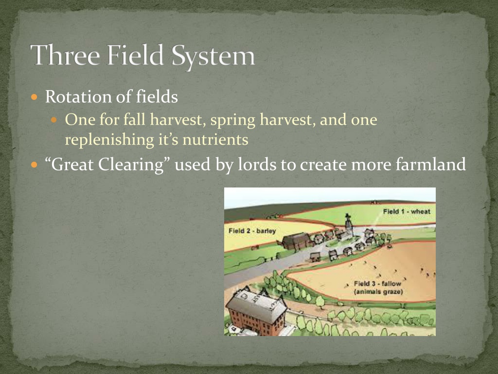 Field system in Gorteen (phillipstown Lower By.)Field system · 1132 yd
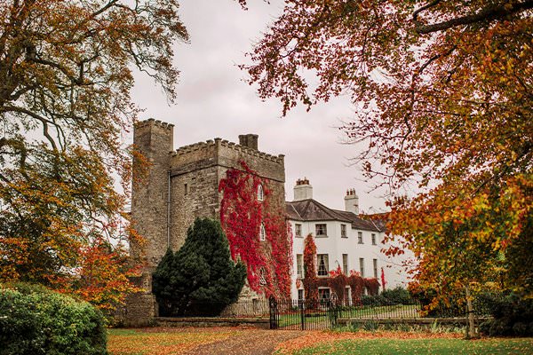 Castle Barnagh (Site of)Bawn · 1681 yd
 Site of Leicesters CastleCastle, tower house · 1.6 mi
 Croghan Hill WalkVisitor information · 2.4 mi
 Finnrenashark Holy WellSpring · 2.5 mi
 Mountlucas Wind Farm Visitors CentreVisitor information · 2.7 mi
 Croghan HillMountain / peak · 2.8 mi
 Victoria PlantationWood · 2.9 mi
 Holy PlantationForest · 3.0 mi