
What is recorded here
Archaeological monitoring of drainage works carried out by Gort Archaeology prior to the planned afforestation of this area revealed the presence of a burnt spread which was identified in the excavated shallow drain at the central northern portion of Field 3. The area was marked off with a 20m buffer and no planting took place within the buffer zone. No artefacts were discovered in the excavated material that was mounded on the field surface. The excavation of the shallow drain did minimal disturbance to the archaeological feature. No other archaeological features or soils were encountered in the remaining areas of the site.
There is a marked curving area in the northern portion of the field surface, with an accompanying lower area adjacent to the south east. This is a shallow (c.0.20m) natural landscape feature and does not occur in the adjacent area. Close to the shallow break of slope of the natural marked curved area (referred to as 3 above), the mounding revealed a burnt spread of stones directly overlain by shallow topsoil (c.0.10m). The burnt spread consisted predominantly of sandstone and measured a maximum of 8m (NE/SW). The burnt spread did not appear in the parallel drains to the east and west of the site. The spread is c.0.10m in depth. No features were identified in the exposed spread indicative of a trough. No artefacts were encountered in the surface inspection of the drain and the mounded material (O'Sullivan 2018, 5).
See attached photos of burnt spread taken from archaeological report.
Compiled by: Caimin O'Brien based on details in archaeological monitoring report
Date of upload: 13 June 2018
The monument record does not grant public access. Check the route and ask the landowner before entering private land.
- What survives
- Recorded monument
Places near here
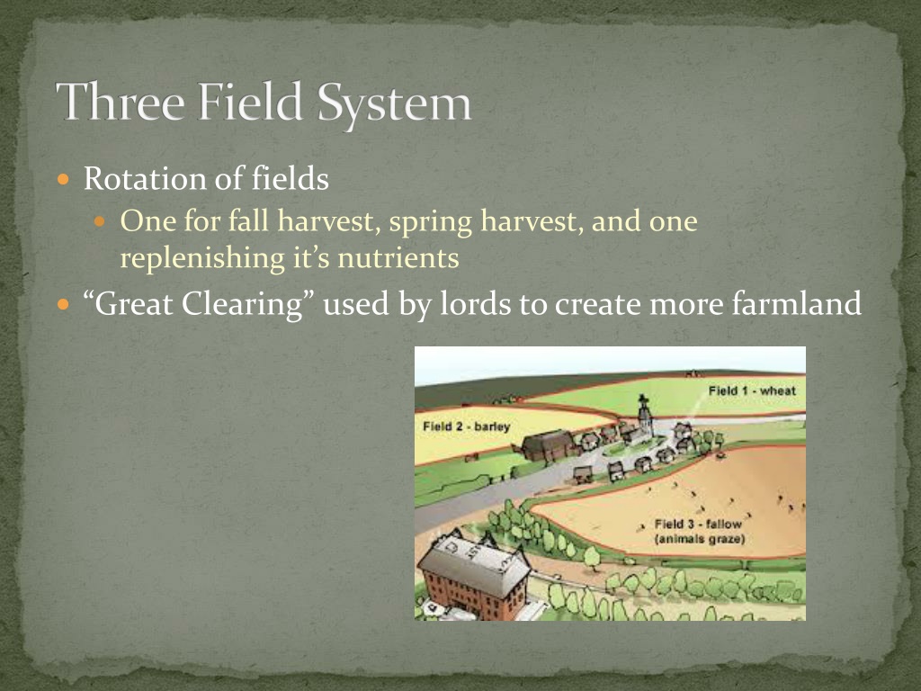 Field system in Gorteen (phillipstown Lower By.)Field system · 192 yd
 Killeen Bridgebridge · 917 yd
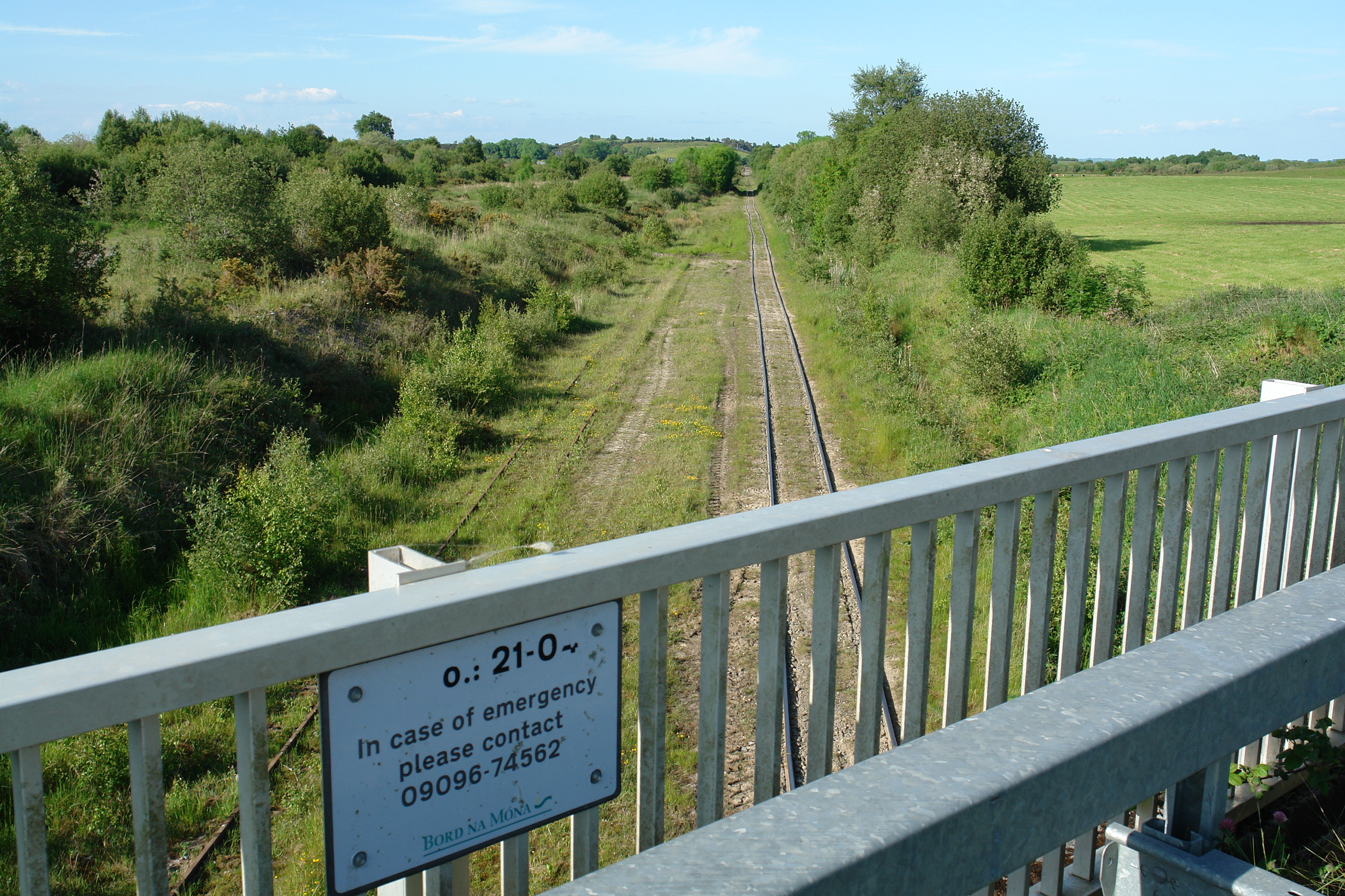 Enclosure in Down (phillipstown Lower By.)Enclosure · 1163 yd
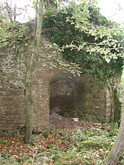 Mount Briscoekiln · 1312 yd
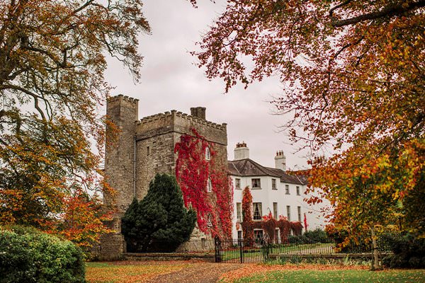 Castle Barnagh (Site of)Bawn · 1.2 mi
 Site of Leicesters CastleCastle, tower house · 1.3 mi
 Croghan Hill WalkVisitor information · 1.9 mi
 Finnrenashark Holy WellSpring · 2.0 mi
 Croghan HillMountain / peak · 2.2 mi
 Victoria PlantationWood · 2.6 mi
 Holy PlantationForest · 2.7 mi
 Mountlucas Wind Farm Visitors CentreVisitor information · 3.2 mi
Other information
Photo: Credit not shown in the picture search · Rights wording not checked; contact us if this picture should be removed