What is recorded here
Series of low banks, ditches and scarped raised areas. Large almost centrally placed rectangular shaped raised area (8m E-W, 16 N-S). Entire central area of modern field filled with drainage-like earthworks possibly of 17th century date. Aerial photo (GSI 547/546) clearly shows central raised area.
The above description is derived from the published 'Archaeological Inventory of County Offaly' (Dublin: Stationery Office, 1997). In certain instances the entries have been revised and updated in the light of recent research.
Date of upload/revision: 23 December 2011
The monument record does not grant public access. Check the route and ask the landowner before entering private land.
- What survives
- Recorded monument
Places near here
 Burnt spread in Gorteen (phillipstown Lower By.)Burnt spread · 192 yd
 Killeen Bridgebridge · 934 yd
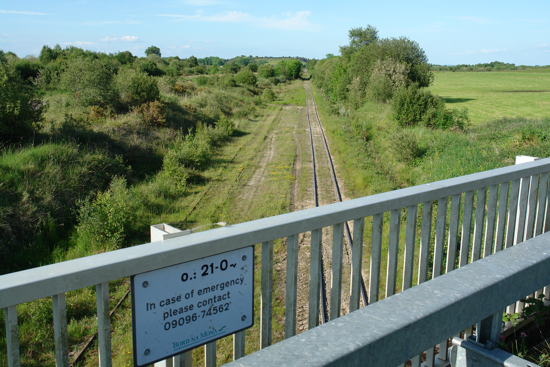 Enclosure in Down (phillipstown Lower By.)Enclosure · 1129 yd
 IndicatedKiln, lime · 1178 yd
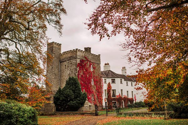 Castle Barnagh (Site of)Bawn · 1.2 mi
 Site of Leicesters CastleCastle, tower house · 1.2 mi
 Croghan Hill WalkVisitor information · 1.8 mi
 Finnrenashark Holy WellSpring · 1.9 mi
 Croghan HillMountain / peak · 2.1 mi
 Victoria PlantationWood · 2.7 mi
 Holy PlantationForest · 2.8 mi
 Clonin EarthworksMountain / peak · 3.3 mi
Other information
Photo: Credit not shown in the picture search · Rights wording not checked; contact us if this picture should be removed