
What is recorded here
From the National Monuments Service (Archaeological Survey of Ireland) record OF010-038
Places near here
Photo credits
- National Inventory of Architectural Heritage
- Royalcanalrunner, Wikimedia Commons · CC BY-SA 4.0
- Maker not stated on source page, www.msn.com
- Maker not stated on source page, www.churchservices.tv
- Maker not stated on source page, www.pinterest.com
- Daingean GAA / Facebook, credited by Offaly Independent; individual photographer not named, www.offalyindependent.ie
- Maker not stated on source page, commons.wikimedia.org
- Maker not stated on source page, monumentalireland.ie
- Maker not stated on source page, extra.ie
 Mount BriscoeKiln · 86 yd
Explorer Tom Mount Briscoe is a giant limekiln that confused some Vikings so badly they gave up and went fishing instead. It’s…
 Killeen BridgeBridge · 411 yd
Explorer Tom Killeen Bridge has a secret talent: it can hold its breath while barges go by without making a sound. Built in 1793…
 (Site of) Castle BarnaghCastle, tower house · 1634 yd
Explorer Tom Castle Barnagh is sick of being asked if it’s a tower house or just a big rock with a history lesson attached. It sits…
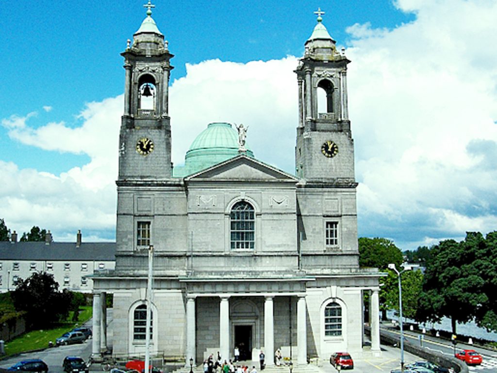 Church in KilloneenChurch · 1.2 mi
Explorer Tom The Church in Killoneen has a secret talent for being completely invisible to anyone who isn't looking directly at it…
 Enclosure in KilladerryEnclosure · 1.3 mi
Explorer Tom Enclosure in Killaderry thinks Dublin tourists are all talk and no proper boots. It’s barely visible, so it has the…
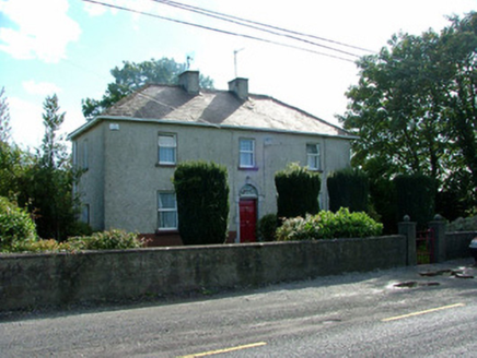 steward's house1.4 mi
Explorer Tom Steward's house in Esker Beg is where a matchmaker once worked her magic on confused farmers. I reckon she swapped more…
 Daingean GAA pitchGAA ground · 1.4 mi
 Mapped cemeteryCemetery · 1.4 mi
Explorer Tom Mapped cemetery in County Offaly is sitting there like a secret that forgot to tell itself. A prophecy once declared it…
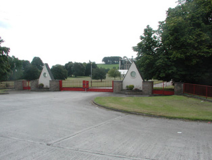 Bord na MónaGates/railings/walls · 1.4 mi
Explorer Tom Bord na Móna has gates with striking triangular shaped gate posts that are quite unusual in the county. They were…
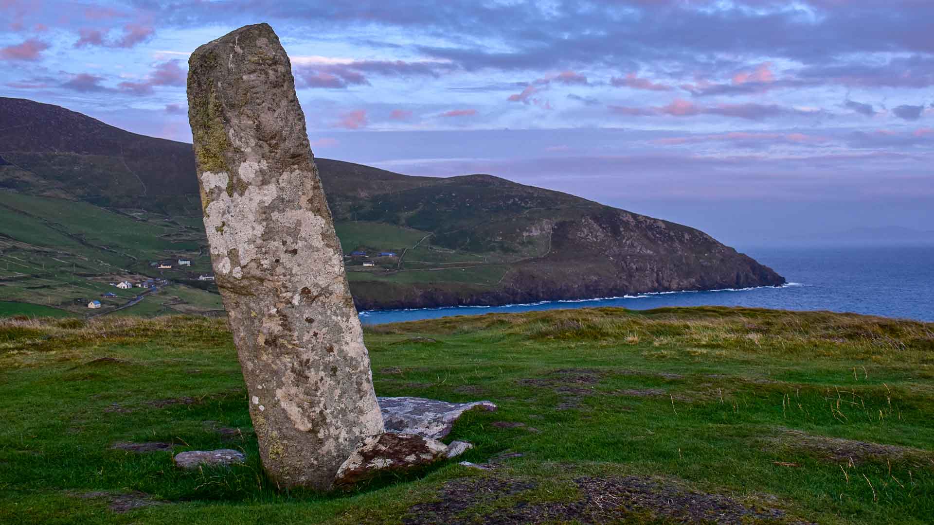 Ogham stone (present location) in Townparks (phillipstown Lower By.)Ogham stone (present location) · 1.5 mi
Explorer Tom Ogham stone in Townparks would teach history by showing you its pink sandstone face and saying, 'Look how rough I am…
 Fort CastleArchaeological place · 1.7 mi
Explorer Tom Fort Castle in County Offaly has an imaginary twin across the sea that sends it postcards every summer. It’s a bit of a…
 Croghans, St BrigidsGAA ground · 2.1 mi
More archaeology and monuments in County Offaly · All of County Offaly

What do you know about this place?Tap to add a comment or ask a question