
What is recorded here
From the National Monuments Service (Archaeological Survey of Ireland) record WM029-049
Places near here
Photo credits
- Wikimedia Commons contributor · CC BY-SA 3.0
- Maker not stated on source page, en.wikipedia.org
- Maker not stated on source page, www.pinterest.ru
- National Inventory of Architectural Heritage
- Maker not stated on source page, au.pinterest.com
- John Henson, garrycastle.gaa.ie
- Maker not stated on source page, commons.wikimedia.org
- Maker not stated on source page, www.pinterest.com
 Moydrum CastleWalled garden · 717 yd
Explorer Tom Moydrum Castle's walled garden is the VIP section of the countryside, and it knows exactly who’s invited. It nearly got…
 Earthwork in CrosswoodEarthwork · 1053 yd
Explorer Tom Earthwork in Crosswood is stuck in a nasty feud with the railway line right next door, each one insisting they own the…
 Moydrum ChurchRuins · 1744 yd
Explorer Tom Moydrum Church would have told Saint Patrick that the snakes were fine as long as he didn't bring any more tourists to…
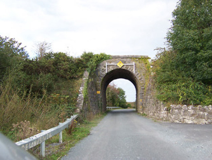 bridge1.1 mi
Explorer Tom Bridge in Tully would write on its dating profile: 'Robust, reliable, and currently single since 1987.' It’s a railway…
 Castle OBrienCastle, tower house · 1.1 mi
Explorer Tom Castle OBrien gave up red meat for Lent and only ate stones, which explains its current condition. It sits on a steep…
 Garrycastle GAA ClubGAA ground · 1.2 mi
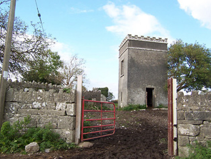 Creggan HouseBuilding misc · 1.2 mi
Explorer Tom Creggan House in Creggan Upper is just two lonely towers standing there like bodyguards who forgot their employer went…
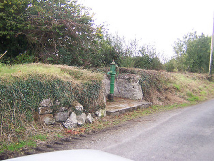 water pump1.3 mi
Explorer Tom Water pump in Tully is actually run by a very serious terrier who demands biscuits. He's been guarding it since 1890…
 Earthwork in Glen (clonlonan By.)Earthwork · 1.3 mi
Explorer Tom Earthwork in Glen hates modern buildings because they don't know how to be invisible like it does. It’s hidden under…
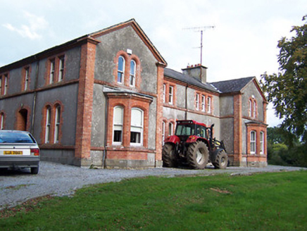 Glynnwood HouseHouse · 1.4 mi
Explorer Tom Glynnwood House in Glen claims it survived the storm of ’98 by just holding its breath. It’s all red brick and concrete…
 Graveyard in TwyfordGraveyard · 1.7 mi
Explorer Tom Graveyard in Twyford is where the whole parish once argued about whether it was a monastery or just a very fancy garden…
 CastleCastle, unclassified · 1.9 mi
Explorer Tom Cloonbonny Castle is an unclassified site in wet pasture that has a New Year's resolution to finally dry out. It’s…
More archaeology and monuments in County Westmeath · All of County Westmeath

What do you know about this place?Tap to add a comment or ask a question