What is recorded here
No surface remains visible of circular-shaped earthwork (approx. diam. 8m) located 30m NW of Lissamota Caste (LI029-118001-) which is shown as a small circle on 1897 ed. OS 25-inch map. On this map it is shown attached to the W face of a farmyard building which forms the W range of buildings to N of Lissamota Castle. This feature is not depicted on the 1840 ed. OS 6-inch map.
Compiled by: Caimin O'Brien
Date of upload: 06 August 2019
See attached ASI aerial photographs ASIAP – taken on 04/03/2006.
The monument record does not grant public access. Check the route and ask the landowner before entering private land.
- What survives
- Recorded monument
Places near here
 Lissamota CastleCastle · 42 yd
 Burial GroundBurial ground · 1144 yd
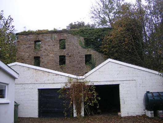 mill (water)mill (water) · 1183 yd
 Burial Gd. for ChildrenChildren's burial ground · 1198 yd
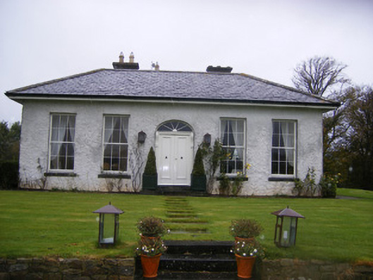 Fort William Housecountry house · 1203 yd
 Castle (in ruins)Castle, tower house · 1553 yd
 Famine stoneMemorial · 2.1 mi
 Flat cemetery in Kiltenan SouthFlat cemetery · 2.2 mi
 KnockfeerinaMountain / peak · 2.6 mi
 Kinnoor WellSpring · 3.3 mi
 LaghtpatrickSpring · 3.8 mi
 European ashEuropean ash · 4.3 mi