Places near here
Photo credits
- Colin Park, Geograph · CC BY-SA 2.0
- Get Lost Mountaineering; photographer not stated, Get Lost Mountaineering
- National Inventory of Architectural Heritage
- Neil Theasby, Geograph · CC BY-SA 2.0
 MonabrackMountain / peak · 1.3 mi
Explorer Tom Monabrack in County Limerick refuses to fall down because it thinks gravity is just a suggestion made by lazy clouds.…
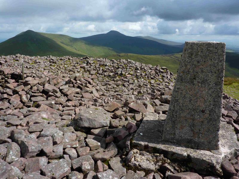 Temple HillMountain / peak · 1.8 mi
Explorer Tom Temple Hill sounds as if the Galtees have hidden a grand stone shrine on top and are waiting for Tom to announce…
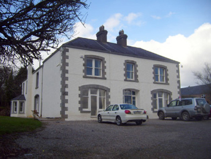 Loughananna HouseHouse, gate lodge · 1.9 mi
Explorer Tom Loughananna House really hated the time a tourist called it 'just another house' in 1902. It’s got Victorian additions…
 Geeragh BridgeBridge · 2.7 mi
Explorer Tom Geeragh Bridge is bragging about surviving a storm that didn't happen, all thanks to its fancy alternating stones from…
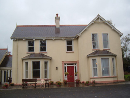 The LodgeHouse · 4.5 mi
Explorer Tom The Lodge in Ballinwillin smells like Earl of Kingston money and old timber decorations. It’s part of an estate that…
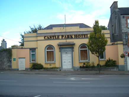 bank/financial institution4.8 mi
Explorer Tom Bank or financial institution in Mitchelstown is dressed up like a palace because banks like to look important. Built…
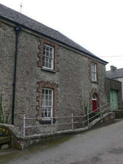 almshouse4.8 mi
Explorer Tom Almshouse in Mitchelstown was built by an Earl who thought 'poor gentlemen' meant people with bad hair days and church…
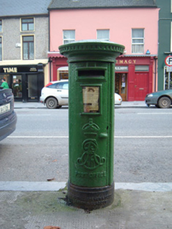 post box4.9 mi
Explorer Tom Post box in Mitchelstown is making wild claims about being older than the town itself, which is a stretch even for Tom.…
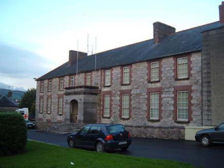 hotel4.9 mi
Explorer Tom Hotel in Mitchelstown would tell you in a job interview that it has excellent carriage doors and a square of its own…
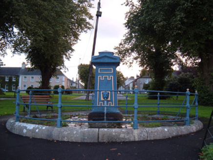 fountain4.9 mi
Explorer Tom This fountain in Mitchelstown would post on social media: 'Still pumping superior construction vibes since 1825, no…
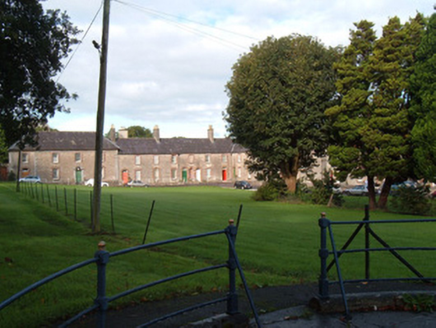 park4.9 mi
Explorer Tom Park in Mitchelstown is part of King's Square, which sounds like royalty but it’s just grass. It’s been around since…
 John MandevilleMemorial · 5.0 mi
Explorer Tom John Mandeville in County Cork is proud of being a medieval guy who got left behind by history but still looks sharp.…
More historic places in County Limerick · All of County Limerick

What do you know about this place?Tap to add a comment or ask a question