
What is recorded here
Situated on the SE face of a high hill in grass-land, overlooking Ballynafid Lake 450m to the SW. Ringfort (WM012-027---) 250m to SE. Depicted on the 1837 OS Fair Plan map as a large circular-shaped enclosure annotated as ‘Rathmharaga’. An unusually large circular-shaped area (approx. diam. 56m N-S; 59m E-W) enclosed by a substantial earthen bank and external fosse. The bank is best preserved from W-N and from SE-SSE and almost completely levelled elsewhere. The fosse is best preserved from WSW-N-NE. Portion of the perimeter has been quarried away at E. There is a possible entrance gap at ESE, which has been widened to provide access for farm machinery. The interior slopes appreciably from NW-SE. The bank has been steepened from N-SE to form part of a moden field boundary. A field fence running NE-SW intersects the monument at W.
Compiled by: Frank Coyne and Caimin O'Brien
Date of upload: 13 December 2017
The monument record does not grant public access. Check the route and ask the landowner before entering private land.
- What survives
- Recorded monument
Places near here
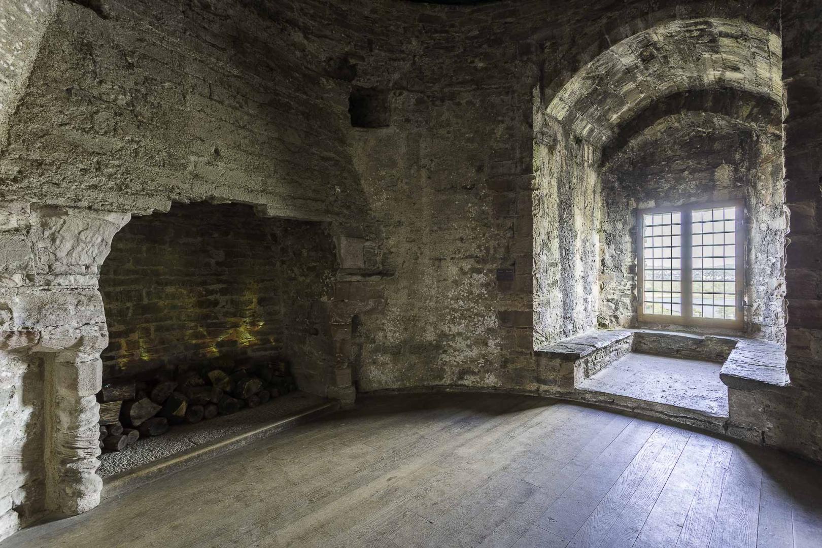 Ceremonial enclosure in KnightswoodCeremonial enclosure · 341 yd
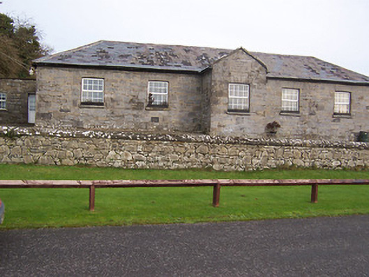 Ballynafid National Schoolschool · 354 yd
 TobermichaelHoly well · 502 yd
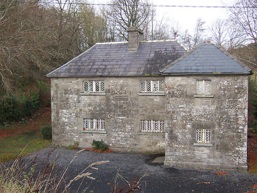 RIC barracksRIC barracks · 673 yd
 CastleCastle, motte · 1524 yd
 Scragh Bog Nature ReserveNature reserve · 1.4 mi
 Church IslandIsland · 2.0 mi
 Bridge Memorial (Kenna)Memorial · 2.2 mi
 Carrickphilbin IslandIslet · 2.5 mi
 Lady's IslandWood · 2.6 mi
 Nugent's CastleCastle · 2.6 mi
 Saint Brigid's WellSpring · 3.5 mi
Other information
Photo: Credit not shown in the picture search · Rights wording not checked; contact us if this picture should be removed