
What is recorded here
Monument surveyed by ASI in 1981 and described as following; 'An oval shaped enclosure bounded by remains of a wide low bank set on scarp and with slight remains of a shallow fosse from NE-N-NW. The site is now enclosed as a small field or paddock and the scarp has been rebuilt and partly faced with stone. The perimeter and part of the interior are overgrown with hawthorns and blackthorns. There is the outline of a large rectangular (WM032-047001-) house inside the bank on the N side. It is impossible to measure the site accurately because of the bushes. Sited on a gentle S facing slope in average pasture land' (SMR File 19/10/1981).
Compiled by: Caimin O'Brien
Date of upload: 18 February 2013
The monument record does not grant public access. Check the route and ask the landowner before entering private land.
- What survives
- Recorded monument
Places near here
 Enclosure in KilbalraherdEnclosure · 695 yd
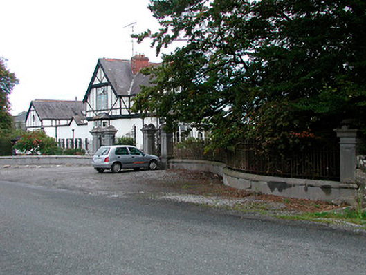 Middleton Park HouseOfficially recorded historic building · 946 yd
 Site of CastleCastle, tower house · 1201 yd
 MotteRuins · 1276 yd
 Castletown MoatCastle, motte and bailey · 1299 yd
 Sam's ParkForest · 4.6 mi
 Hill of UisneachMountain / peak · 4.8 mi
 European ashEuropean ash · 5.1 mi
 Bonfire HillMountain / peak · 5.8 mi
 Kilmalady HillMountain / peak · 5.8 mi
 St. Columba's WellSpring · 7.4 mi
Other information
Photo: Credit not shown in the picture search · Rights wording not checked; contact us if this picture should be removed