What is recorded here
Situated on a gentle W-facing slope overlooking a broad valley. A rectangular church (WI019-018001-) with a splayed doorway in the S wall, and a splayed window towards the E end of the N wall. It contains a possible subrectangular granite font (WI019-018003-) and a holy water stoup (WI019-018004-) in the NE corner. Described in the Ordnance Survey Letters of 1838-40 'a burying place on the south side, but it is now unfrequented and overgrown with thorns' (O'Flanagan 1928, 94). The graveyard was described in 1928 as 'the old graveyard on the south side is now disused' (Ronan 1928, 139).
Date of upload: 28 September 2012
A possible subrectangular stone chamber tomb, likely dating to the Early Christian period. Its association with a rectangular church suggests a possible ecclesiastical or ceremonial significance in a later medieval context.
The monument record does not grant public access. Check the route and ask the landowner before entering private land.
- What survives
- Recorded monument
Places near here
 Church in ruinsChurch · 12 yd
 CastleCastle, ringwork · 342 yd
 IndicatedFairy fort / earthen ringfort · 413 yd
 St. Patricks WellHoly well · 1086 yd
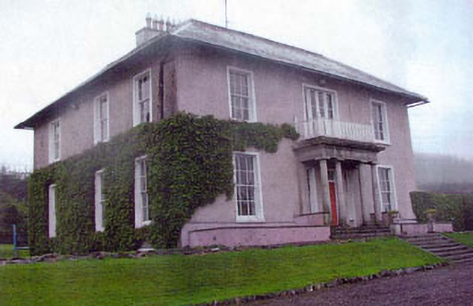 Kiltimon Housecountry house · 1652 yd
 Castle (in Ruins)Castle, ringwork · 1.8 mi
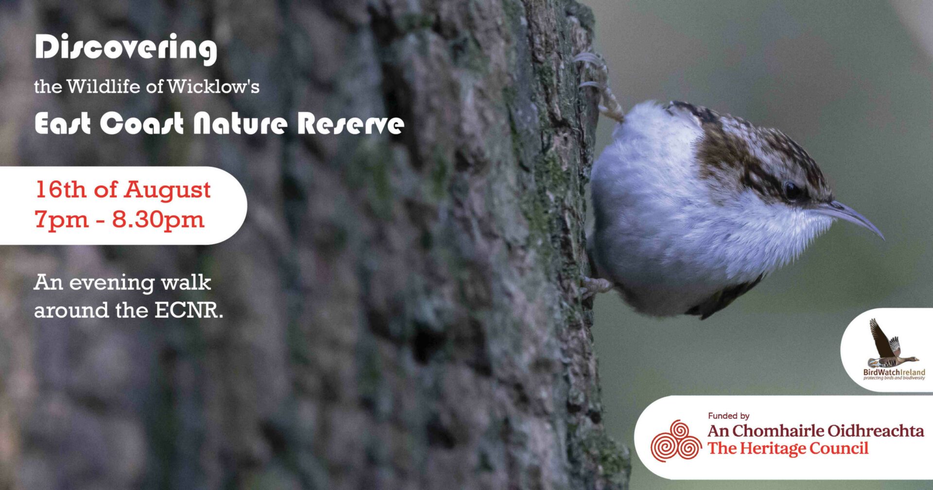 East Coast Nature ReserveNature reserve · 1.9 mi
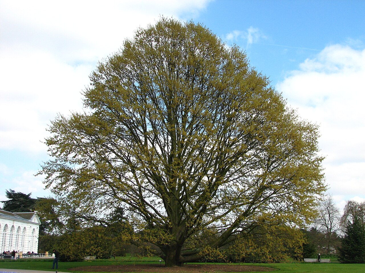 Chestnut-leaved OakChestnut-leaved Oak · 2.9 mi
 Leamore StrandBeach / strand · 3.0 mi
 Devil's Glen WaterfallWaterfall · 3.9 mi
 Glenroe FarmHeritage attraction · 4.7 mi
 Carrick MountainMountain / peak · 5.7 mi