What is recorded here
Situated in grassland with stream 90m to N. Killagh House and castle (WM013-107---) stands 150m to W with Killagh Corn Mill 170m to NW. Motte and bailey (WM020-024----) castle lies 60m to S. Poorly preserved remains consist of a rectangular church (ext dims. 6.3m N-S; 19.6m E-W) aligned NW-SE which formed N boundary of a graveyard (WM020-025001-) as depicted on the 1838 ed. OS 6-inch map. The walls of the church are built of limestone rubble, with only a small part of the W end of the S wall and part of the E wall upstanding. Elsewhere only the lower wall courses are visible. The inner facing of a window embrasure is visible in the E wall. A later internal wall divides the E end of the church from the W as depicted on the 25-inch OS map. Several memorials of 18th-19th century date are visible in the interior of the church ruins. Curvilinear earthworks to N, E and S of the church and graveyard are visible on Digital Globe aerial photograph. Some of these earthworks may be contemporaneous with the church while others may relate to post-medieval drainage works.
Killagh Church is depicted on the Down Survey map of Killagh parish where it is annotated as 'in repaire' and shown standing beside Killagh Castle and Mill (NLI MS 723-4). On this map the church is depicted as standing on lands belonging to George Nugent who is listed in 1641 as an 'Irish papist'. The terrier of this map recorded that 'There is in Killagh a Corne Mill a Tuck Mill a Ruined Church and, a Castle in Repaire' (ibid.).
Compiled by: Frank Coyne and Caimin O'Brien
Date of upload: 25 July 2018
The monument record does not grant public access. Check the route and ask the landowner before entering private land.
- What survives
- Recorded monument
Places near here
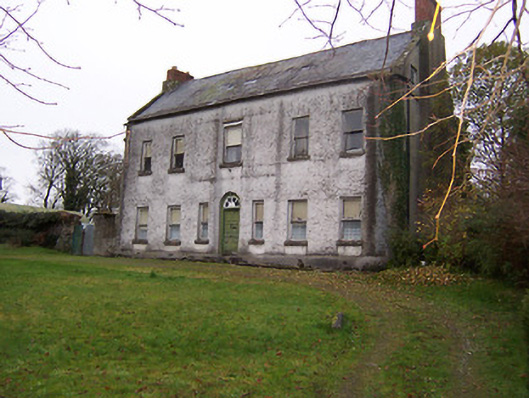 Killagh Househouse · 157 yd
 Killagh Ho. & CastleCastle, tower house · 173 yd
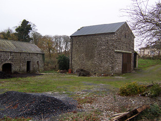 mill (water)mill (water) · 187 yd
 DardistownCastle, unclassified · 1183 yd
 Tober LuibeHoly well · 1569 yd
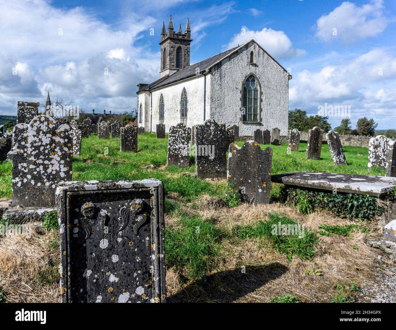 St. Patricks or Scardan WellHoly well · 1.0 mi
 GinkgoGinkgo · 1.6 mi
 ScregganWood · 4.2 mi
 Kells HillMountain / peak · 8.6 mi
 Seafin HillMountain / peak · 9.5 mi
 Croppies' GraveMemorial · 10 mi
 Church in DardistownChurch · 1454 yd