What is recorded here
On a SE-facing slope, in improved pasture and 90m to NW of a townland boundary with Garrison. Depicted as a tree-planted enclosure and not as an antiquity on the 1840 ed. OSi 6-inch map. Shown on the revised 1897 ed. OS 25-inch map as a subcircular-shaped earthwork with ‘Keating’s Well’ 4m to SW. Monument surveyed by the ASI in 2008 and described as a circular-shaped area (21m E-W; 20m N-S) defined by the remains of a levelled bank (Wth 7.65m; int. H 0.25m; ext. H 1.05m). There are cattle breaches (Wth 3.4m and Wth 4m) at N and NE respectively and the interior has a gentle E-facing slope. Immediately outside the monument, a broad drain is visible from S-SW, (as depicted on the 1897 ed. OS 25-inch map) which merges with and narrow drain that continues from SW-W-NNW. A subrectangular-shaped plot housing a local authority water supply station abuts the drain to W. Undulations to E and SE of the monument appear to be caused by natural fluvial activity. Monument is visible as a circular-shaped earthwork on OSi orthoimage taken 2005-2012, on Digital Globe orthoimage taken 2011-201, and on Google Earth orthoimage taken 28/06/2018. See attached sketch plan and cross-section surveyed and drawn by the ASI in 2008 and Google Earth orthoimage taken 28/06/2018.
On a SE-facing slope, in improved pasture and 90m to NW of a townland boundary with Garrison. Depicted as a tree-planted enclosure and not as an antiquity on the 1840 ed. OSi 6-inch map. Shown on the revised 1897 ed. OS 25-inch map as a subcircular-shaped earthwork with ‘Keating’s Well’ 4m to SW. Monument surveyed by the ASI in 2008 and described as a circular-shaped area (21m E-W; 20m N-S) defined by the remains…
From the National Monuments Service (Archaeological Survey of Ireland) record LI024-048
The monument record does not grant public access. Check the route and ask the landowner before entering private land.
- What survives
- Recorded monument
Places near here
Photo credits
- National Inventory of Architectural Heritage
- Graham Horn, Geograph · CC BY-SA 2.0
- Mike Searle, Wikimedia Commons · CC BY-SA 2.0
- EamonnPKeane, Wikimedia Commons · CC0
- Hywel Williams, Geograph · Creative Commons Attribution-ShareAlike 2.0
- Colin Park, Geograph · CC BY-SA 2.0
- CaitNi, Wikimedia Commons · CC BY-SA 4.0
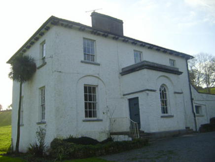 Moymore HouseRectory/glebe/vicarage/curate's house · 553 yd
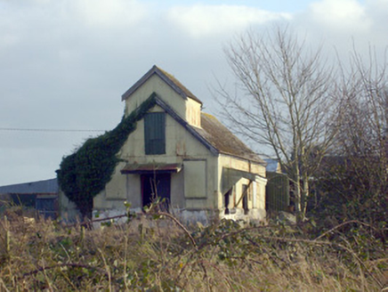 Race CreameryCreamery · 1156 yd
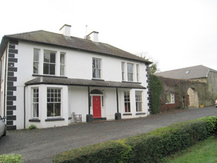 Mount CatherineHouse · 1393 yd
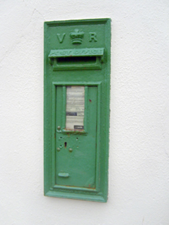 post box1493 yd
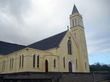 Catholic Church of Saint John the BaptistChurch/chapel · 1514 yd
 Kilduff Castle (in ruins)Castle, tower house · 1667 yd
 Kilduff CastleCastle · 1667 ydToberagaddySpring · 1700 yd
 Standing stone in Longstone (cullen Par.)Standing stone · 3.5 mi
 Grave YardGraveyard · 12 mi
 SlievereaghMountain / peak · 12 mi
 CarrigeenamronetyMountain / peak · 18 mi
More archaeology and monuments in County Limerick · All of County Limerick
What do you know about this place?