What is recorded here
Monument surveyed by National Monuments Service in 1987 and described as following; 'On top of a small hillock in pasture land. The site has been almost completely levelled with only some traces of bank surviving from E-SE-S' (SMR File 01/05/1987). An earlier ASI report dating from 1971 described the monument as 'A small oval uneven enclosure with a general slight slope from SW-NE, bounded by a steep scarp with very slight remains of an earth and stone bank on its upper edge. There are very vague suggestions of a fosse at the foot of the scarp especially on the W. The bank is visible from SW-W-N. Surrounded the enclosure but not concentric with it is a relatively modern bank reduced to a scarp with trench. It is this that is marked on the 1914 ed. OS 6-inch map. The original entrance way is not recognisable. The site and the ground around it are planted with trees and the outer bank/scarp probably dates from this planting. The site is on the top of a small prominent hillock surrounded by gently undulating pasture and woodland' (SMR File 25/06/1971).
Compiled by: Caimin O'Brien
Date of upload: 18 February 2013
The monument record does not grant public access. Check the route and ask the landowner before entering private land.
- What survives
- Recorded monument
Places near here
 Partially hachuredFairy fort / earthen ringfort · 336 yd
 Enclosure in KilbalraherdEnclosure · 596 yd
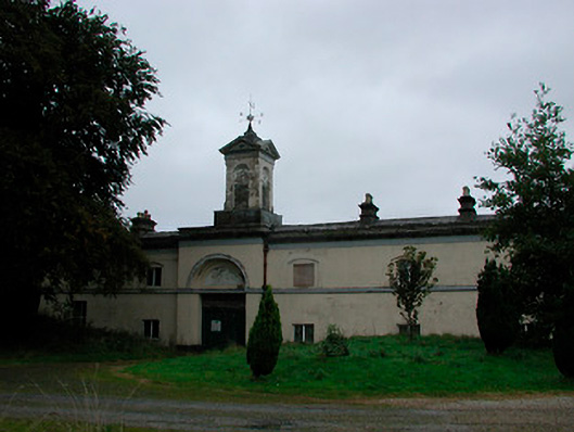 Middleton Park Houseoutbuilding · 612 yd
 MotteRuins · 1330 yd
 Castletown MoatCastle, motte and bailey · 1355 yd
 Site of CastleCastle, tower house · 1511 yd
 Sam's ParkForest · 5.2 mi
 Hill of UisneachMountain / peak · 5.2 mi
 Ardan WoodWood · 5.5 mi
 Bonfire HillMountain / peak · 5.6 mi
 Kilmalady HillMountain / peak · 6.2 mi
 St. Columba's WellSpring · 7.5 mi