What is recorded here
Situated on a small natural ridge in undulating pasture with a number of other similar ridges in the vicinity. Extensive views to N, more restricted in other directions. Depicted on the 1837 ed. OS 6-inch map as a tree-planted enclosure and as a sub-triangular shaped earthwork on the revised 1911 ed. OS map. Not depicted as an antiquity, this earthwork appears to have been a small tree plantation depicted on the 1837 ed. OS map. No surface remains visible of earthwork. Post-1700 enclosure.
Compiled by: Frank Coyne & Caimin O'Brien
Date of upload: 18 November 2016
The monument record does not grant public access. Check the route and ask the landowner before entering private land.
- What survives
- Recorded monument
Places near here
 CastleCastle, unclassified · 514 yd
 IndicatedCastle, motte and bailey · 675 yd
 Enclosure in TonashammerEnclosure · 1291 yd
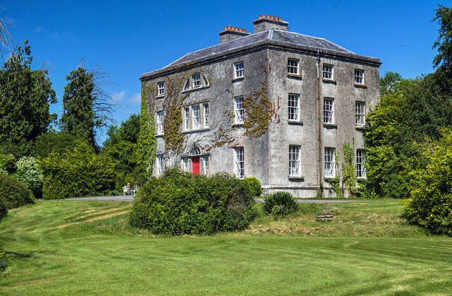 Hilltown Housecountry house · 1621 yd
 Partially hachuredFairy fort / earthen ringfort · 1728 yd
 Mullaghmeen ForestPicnic place · 1.3 mi
 mill (water)mill (water) · 1.4 mi
 Mullaghmeen Red WalkWalking route · 1.7 mi
 European BeechEuropean Beech · 1.9 mi
 Mullaghmeen White WalkWalking route · 2.0 mi
 MullaghmeenMountain / peak · 2.3 mi
 Hilltown Castle (in ruins)Castle, tower house · 1525 yd