
What is recorded here
Possible ringfort identified by Dr Séamus Ó Murchú and described as in ; 'Wooded area contiguous to mature conifer plantation to northwest. Site obscured by trees in modern aerial imagery however, forest plantation to northwest respects feature with curving boundary. Described on Felling Licence application submitted…
Read the whole record
From the National Monuments Service (Archaeological Survey of Ireland) record KE102-135
Places near here
Photo credits
- Maker not stated on source page, www.irishexaminer.com
- Maker not stated on source page, www.irishcentral.com
- Maker not stated on source page, tr.pinterest.com
- Maker not stated on source page, www.thevintagenews.com
- Maker not stated on source page, en.wikipedia.org
- John M, Geograph · CC BY-SA 2.0
- Maker not stated on source page, www.alamy.com
- Maker not stated on source page, www.pinterest.com
- Keith Cunneen, Geograph · CC BY-SA 2.0
- National Inventory of Architectural Heritage
- Peter Craine, Wikimedia Commons · CC BY-SA 2.0
- Kmcnamee, Wikimedia Commons · CC BY-SA 4.0
 Fairy fort / earthen ringfort in Rath (glanarought By.)Fairy fort / earthen ringfort · 1526 yd
Explorer Tom Fairy fort / earthen ringfort in Rath would tell its younger self to stop trying so hard because even the banks are…
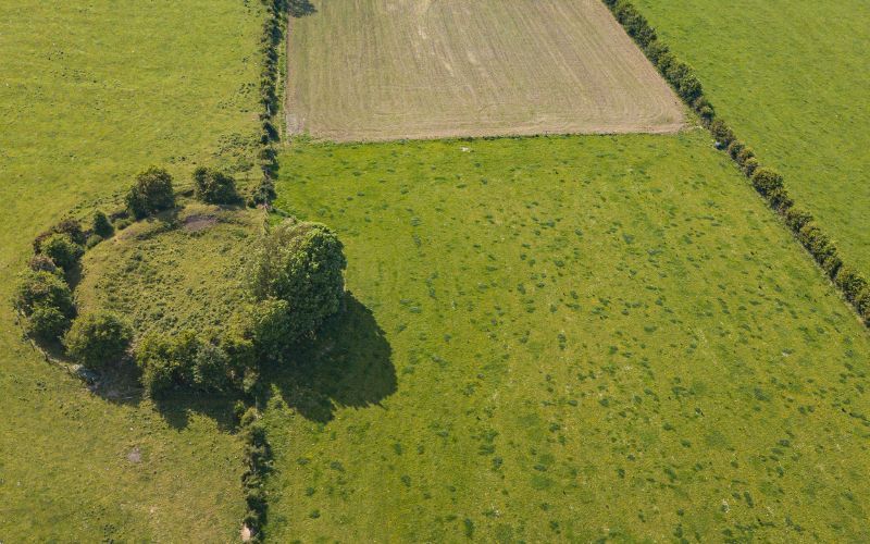 Fairy fort / earthen ringfort in GarryletterFairy fort / earthen ringfort · 1.4 mi
Explorer Tom Fairy fort / earthen ringfort in Garryletter hears everything through its thick walls, including the cows complaining…
 Enclosure in DerrynacaheraghEnclosure · 1.5 mi
Explorer Tom Enclosure in Derrynacaheragh is sitting at the foot of a steep slope, watching out for a specific bird that refuses to…
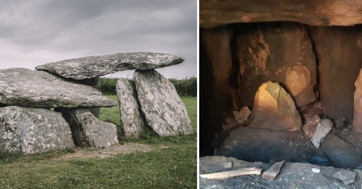 Wedge tomb in Esk EastWedge tomb · 2.1 mi
Explorer Tom Wedge tomb in Esk East was 'invented' by a local who lost his bet. It’s just a stone wedge, very pointy and…
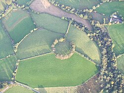 Fairy fort / earthen ringfort in KillabunaneFairy fort / earthen ringfort · 2.3 mi
Explorer Tom Fairy fort / earthen ringfort in Killabunane is hiding so well the rabbits think they invented it. The name means…
 Baurearagh MountainMountain / peak · 2.6 mi
Explorer Tom Baurearagh Mountain in County Kerry fooled the mapmakers into drawing it three kilometers away from where it actually…
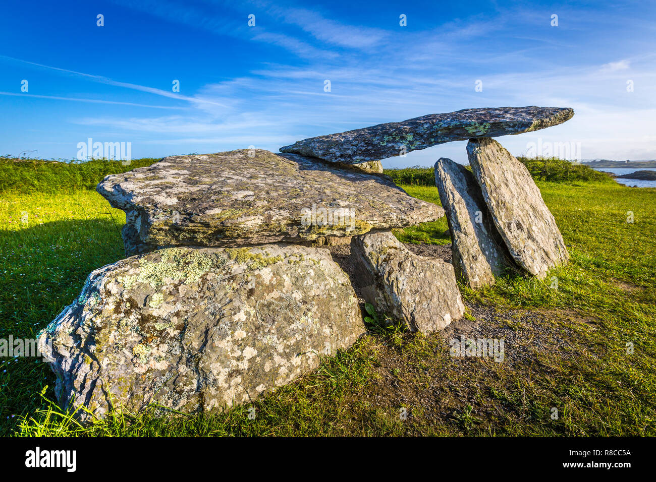 Wedge tomb in YoungfieldWedge tomb · 2.8 mi
Explorer Tom Wedge tomb in Youngfield has an unlikely celebrity friend who is a very large hawk that refuses to acknowledge it…
 Enclosure in Baurearagh (glanarought By., Banawn Ed)Enclosure · 3.3 mi
Explorer Tom Enclosure in Baurearagh inspired a terrible poem about its circular shape that nobody wants to read aloud. It’s…
 Killane Mountain South-West TopMountain / peak · 4.0 mi
Explorer Tom Killane Mountain South-West Top has very strong opinions on modern building codes and hates that nobody respects its…
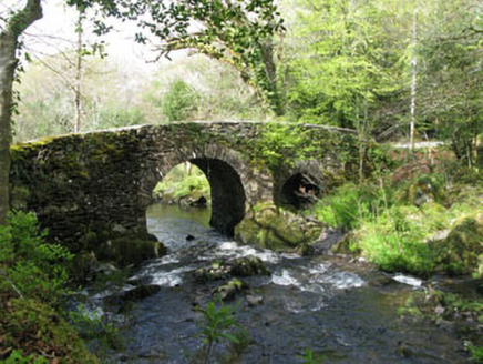 Glengarriff Nature ReserveBridge · 4.1 mi
Explorer Tom Glengarriff Nature Reserve bridge is picturesque and full of local craftsmanship, featuring a second smaller arch that…
 Glengarriff WoodsWood · 4.1 mi
Explorer Tom Glengarriff Woods has old oaks that survived a spell when people thought the answer to every forestry question was…
 Garnish GAA pitchGAA ground · 24 mi
More archaeology and monuments in County Kerry · All of County Kerry

What do you know about this place?Tap to add a comment or ask a question