What is recorded here
Enclosure described in 1942-3 as following; 'This consists of a circular platform on the edge of which is a bank. It is surrounded by a fosse. The entrance is on the north-east. Outside the break in the bank the fosse is causewayed. The overall diameter is 135' [41m]. On the east side a lime-kiln has been built into the bank' (O'Kelly 1942-3, 229). Tree-covered enclosure visible today on Digital Globe aerial photographs.
Compiled by: Caimin O'Brien
Date of upload: 2 March 2020
The monument record does not grant public access. Check the route and ask the landowner before entering private land.
- What survives
- Recorded monument
Places near here
 Enclosure in FedamoreEnclosure · 723 yd
 Fedamore Housecountry house · 970 yd
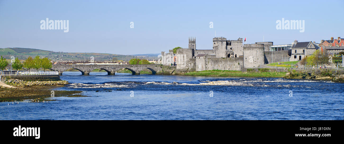 (Site of) St. Johns WellHoly well · 1001 yd
 Carnane RockNamed rock · 1455 yd
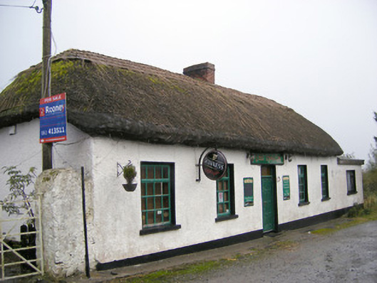 The Thatchhouse · 1497 yd
 Dotted outlineBawn · 1.2 mi
 Bawn in SkoolhillBawn · 1.2 mi
 Skool HillMountain / peak · 1.5 mi
 ToberauillinSpring · 1.7 mi
 Villiers WellSpring · 1.9 mi
 Lough GurVisitor information · 3.7 mi
 Grange Stone CircleArchaeological place · 3.7 mi