What is recorded here
In pasture, 140m SE of townland boundary with Uregare and 500m E of Greenpark House. Possible site (No. 040175) identified as a circular enclosure during examination of aerial photographs (BGE 1/5000, 2548) taken 03/11/1984 on Bórd Gáis Éireann gas pipeline. This cropmark was depicted on the 1840 ed. OSi 6-inch map as…
Read the whole record
From the National Monuments Service (Archaeological Survey of Ireland) record LI040-045
Places near here
Photo credits
- National Inventory of Architectural Heritage
- Maker not stated on source page, www.pinterest.com
- Kmcnamee, Wikimedia Commons · CC BY-SA 4.0
- Maker not stated on source page, commons.wikimedia.org
- Knockane GAA Club website; individual photographer not stated, www.knockane.com
- No machine-readable author provided. Christian1965~commonswiki assumed (based on copyright claims)., Wikimedia Commons · Public domain
- Maker not stated on source page, www.gettyimages.ca
- Maker not stated on source page, en.wikipedia.org
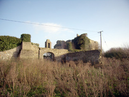 Greenpark HouseCountry house · 802 yd
Explorer Tom Greenpark House in Uregare looks like it got lost on the way to a different county. It's overgrown and confused…
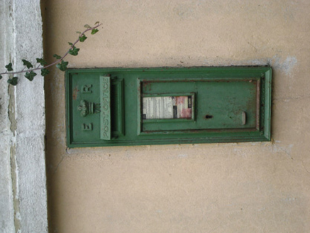 post box1255 yd
Explorer Tom That post box in Uregare is locked in a bitter feud with the rain over who looks more ornate. The crown motif is doing…
 Uregare GraveyardCemetery · 1269 yd
Explorer Tom Uregare Graveyard in County Limerick has a strict dress code for ghosts and apparently no patience for latecomers. It…
 Bruff GAA pitchGAA ground · 1.6 mi
 Earthwork in Gormanstown (phillips)Earthwork · 1.6 mi
Explorer Tom Earthwork in Gormanstown caused the whole parish to argue about whose turn it was to mow. They shouted so loud the…
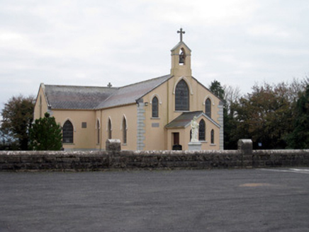 Catholic Church of the Holy TrinityChurch/chapel · 1.8 mi
Explorer Tom Catholic Church of the Holy Trinity in Dromin North hates when tourists touch the limestone columns because it thinks…
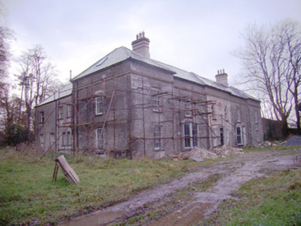 Baggotstown HouseCountry house · 2.0 mi
Explorer Tom Baggotstown House has had so many names it’s got identity crisis and won’t stop changing its mind about who it is. It’s…
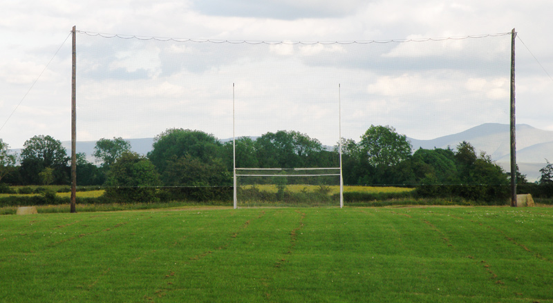 Knockainey GAA pitchGAA ground · 2.5 mi
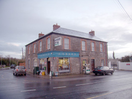 J. CreedHouse · 4.0 mi
Explorer Tom J. Creed in Knocktoran has strong opinions on modern buildings, mostly that they look like cardboard boxes with no…
 Áine and Gearóid Iarla: Lough GurLegend location · 5.0 mi
Explorer Tom Áine and Gearóid Iarla: Lough Gur has a goddess for the lake and a sleeping lord in the old stories. I thought I was…
 (Site of) ChurchChurch · 5.2 mi
Explorer Tom Church in Balline is hiding a treasure chest that is definitely just an old biscuit tin. St. Molua’s Well is right…
 Castle (Site of)Castle, unclassified · 24 mi
Explorer Tom Castle in Curragh is in a rivalry with its more famous namesake across the county, standing on the Allow River bank…
More archaeology and monuments in County Limerick · All of County Limerick

What do you know about this place?Tap to add a comment or ask a question